Preface|The Aesthetics of Violence in Appalachia
I’ve already raced through the states surrounding Kentucky. When the map was spread out, there was only one state left in the east that was "barely shoulder to shoulder" with Kentucky: Virginia.
I originally planned to save it for the Marine Corps Marathon in October, and make a presence in Washington by the way.
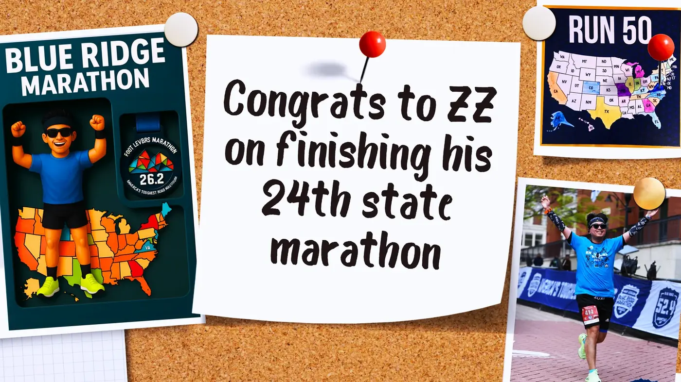
Unfortunately, it was difficult to get a ticket for that game, and the registration fee was not cheap, costing about $250. Moreover, I have already run in Washington once, and I have no obsession with running in that game.
So I turned around and searched for other events in Virginia, and the result: the Blue Ridge Marathon came directly into view.
I have heard the name for a long time, and it seems that my American friends have mentioned it several times.
Clicking in and taking a look, it turns out it’s really tough: It’s known as “America’s Toughest Road Marathon,” with a total drop of 3,564 feet throughout the entire process.
This is not a tourist horse in the city, but a tough battle in the Appalachian Mountains. The scenery is rough, the mountain roads are winding, and the knees are screaming.
It has the same feeling as "A Better Tomorrow" for me, with a hard-core temperament on the mountain road. It is this kind of hard-fought confrontation that makes people smile until the end.
This may be the runner version of violent aesthetics I want.
The 24th state · Virginia | The beginning of the colony and the Blue Ridge Mountains
Virginia is one of the earliest colonies in the United States, named after Queen Elizabeth I of England. She was never married and was known as "The Virgin Queen", so this place was named "Virginia", which means "the Queen's territory".
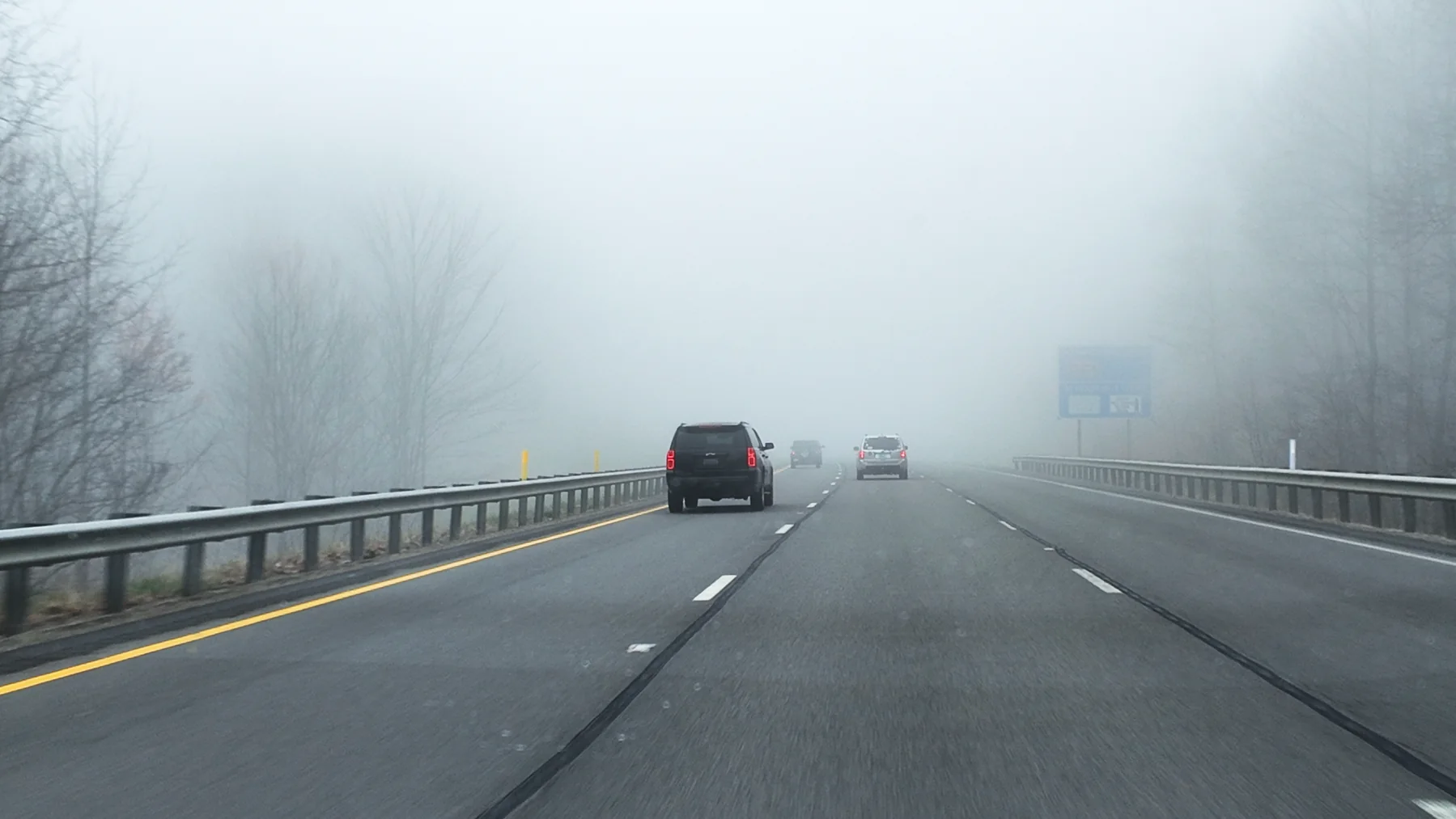
In 1607, the British established the first permanent colony in North America, Jamestown, here, and American history begins on this land.
Geographically, Virginia is very close to the U.S. capital, Washington, DC. The capital was originally built from a piece of land each in Virginia and Maryland, so some people say that the political heart of the United States was "cut out" from here.
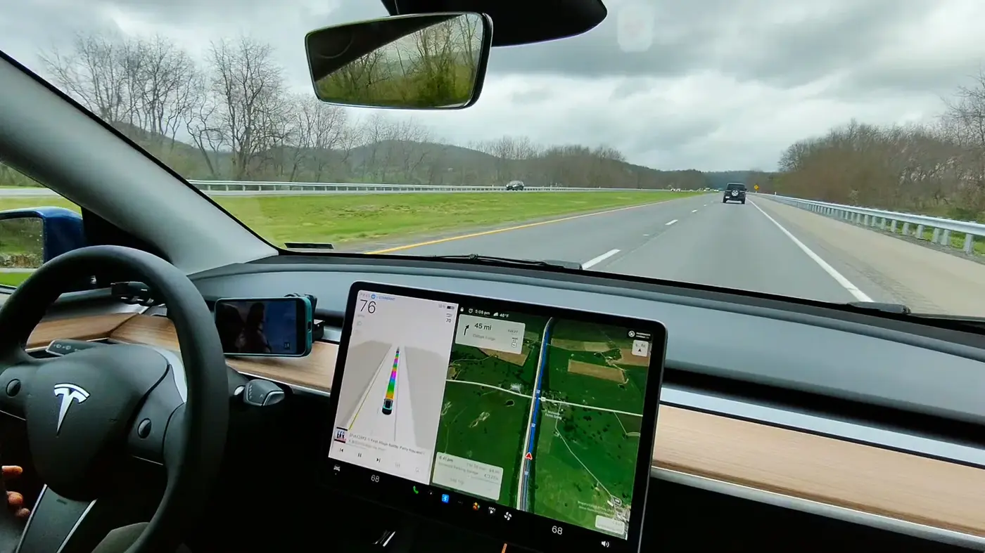
It spans coasts and mountains: the Atlantic Ocean and Chesapeake Bay to the east, and the Appalachian and Blue Ridge Mountains to the west. The landscape is diverse, from beaches to hills to mountains, encompassing nearly every landscape in the eastern United States.
Speaking of cities:
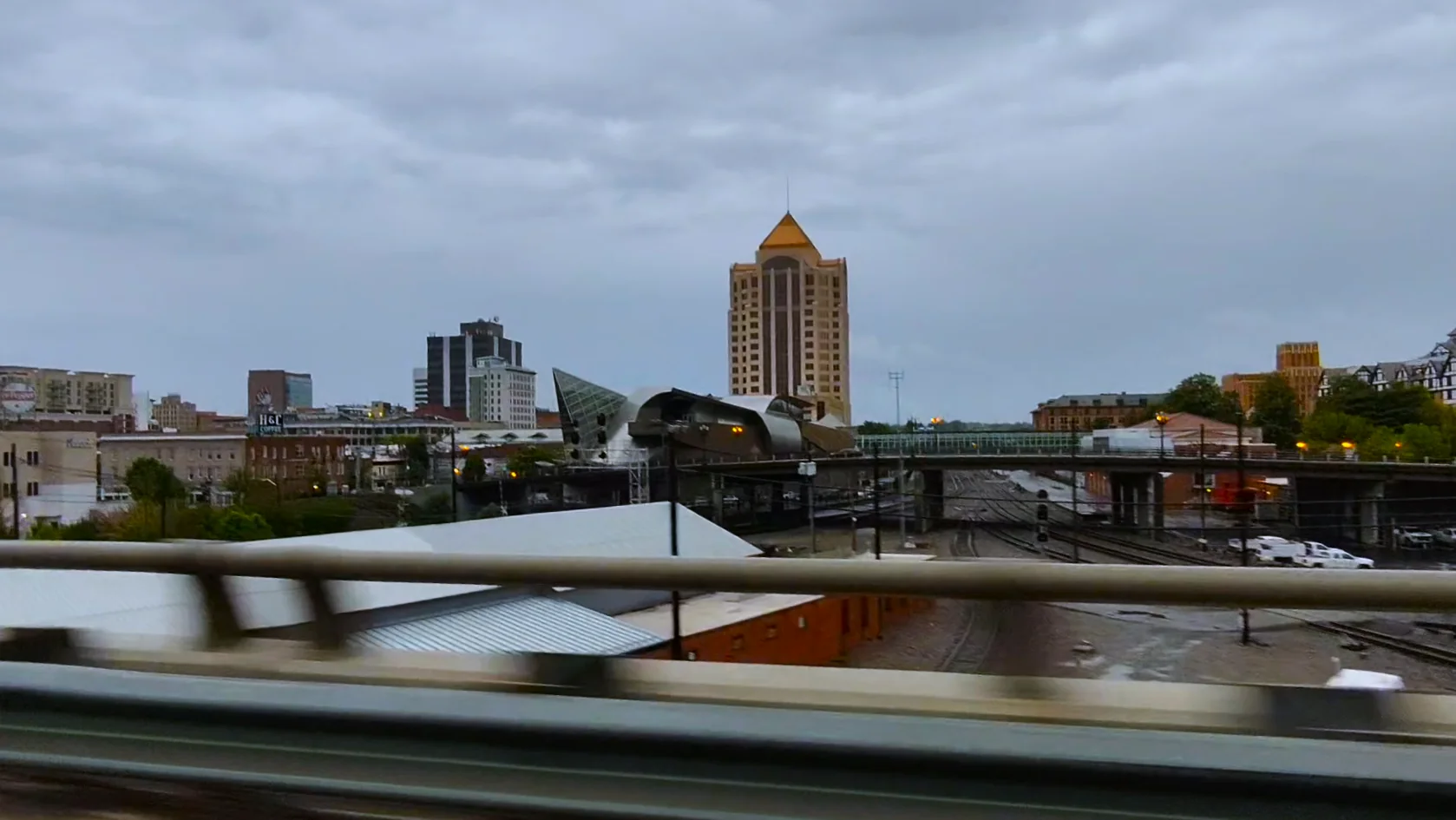
Richmond is the state capital and the capital of the Confederacy during the Civil War. It has a rich historical background.
Virginia Beach is a resort town famous for its sandy beaches and boardwalk.
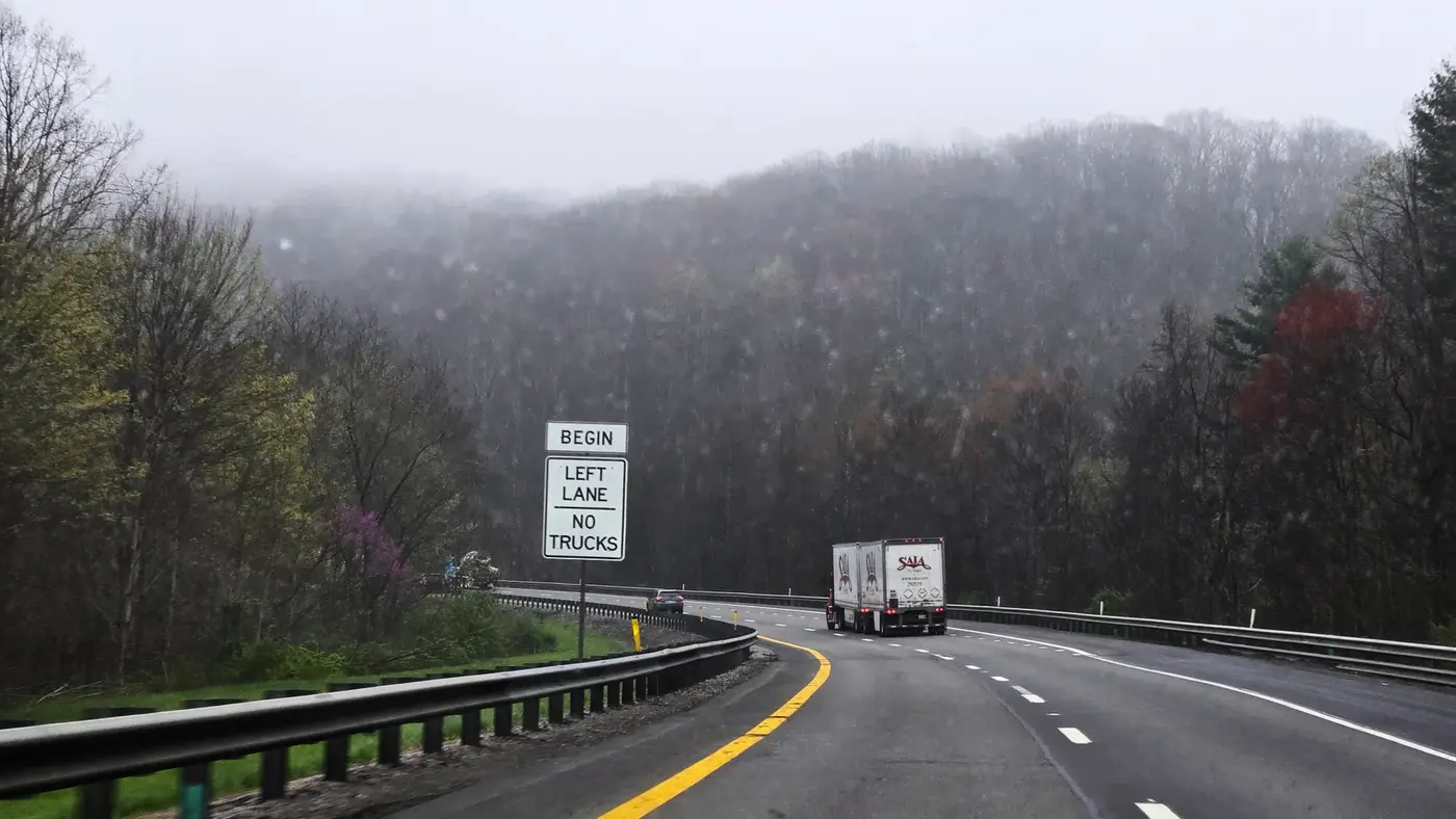
There is the University of Virginia in Charlottesville, which was designed by Jefferson himself and has a strong academic atmosphere.
Roanoke is located in the Blue Ridge Valley and is an important railroad town. It is famous for the huge Roanoke Star on the mountain and is also the venue for the Blue Ridge Marathon.
Virginia is often called the "Mother of Presidents" because eight U.S. presidents were born here, including Washington and Jefferson. It is both the beginning of American history and the epitome of natural beauty.
For me, the focus this time is not on colonial history, but on personally experiencing the power of the most brutal track in the United States in the Appalachian Mountains.
Chapter 1|Departure for Virginia
New year, new weather, and I finally got a new car.
After upgrading from that old Nissan Altima to a Tesla Model Y with autonomous driving, the quality of life has directly gone to a new level. It was my first time to drive a long-distance tram, so I was a little nervous, but mostly excited.
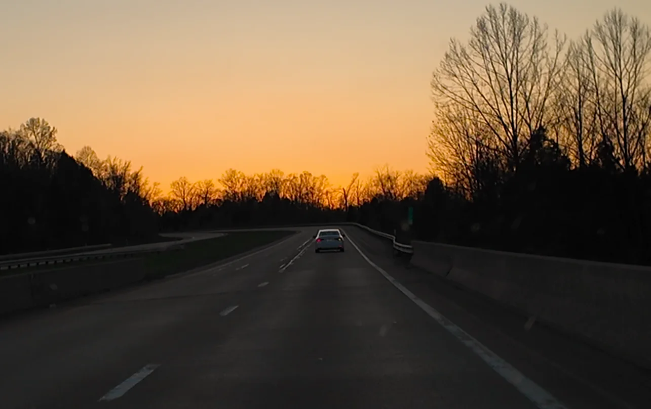
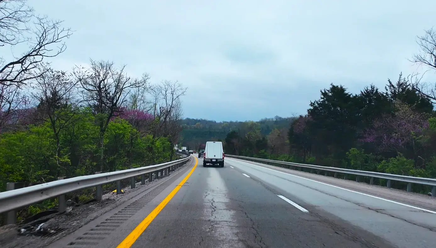
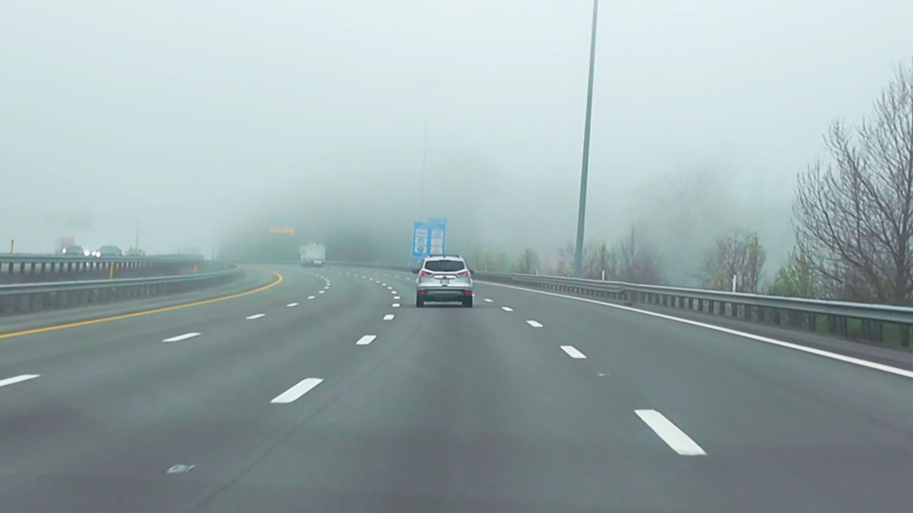
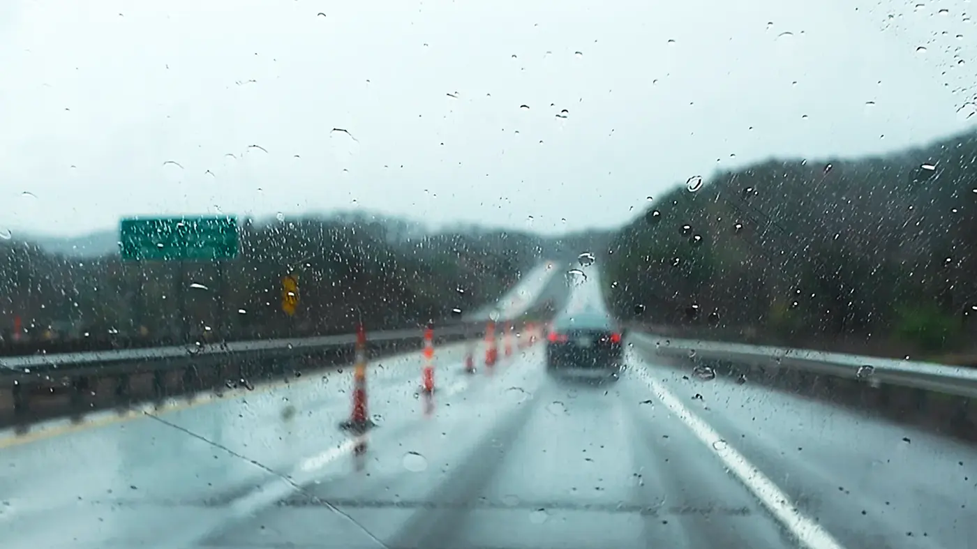
It was mid-April on the day of departure. It was raining lightly, the sky was overcast, and there was a sense of late spring in the air. The trees on the roadside have just sprouted new buds, with purple flowers interspersed with tender green, layer upon layer along the way. Driving a Tesla, enabling autopilot, and watching "Sister Riding the Wind and Waves", it was a bit pleasant at that moment.
The car plans its own charging station, which perfectly suits my "peeing spots". The so-called "double charging of people and vehicles" means that the journey is broken into several natural segments, making it no longer so rushed or tiring. The rhythm of tram travel is actually a bit like spiritual practice. Technology makes people slow down but more comfortable.
At noon we stopped in a small town we were passing by. The city is called Charleston, which is actually the state capital of West Virginia.
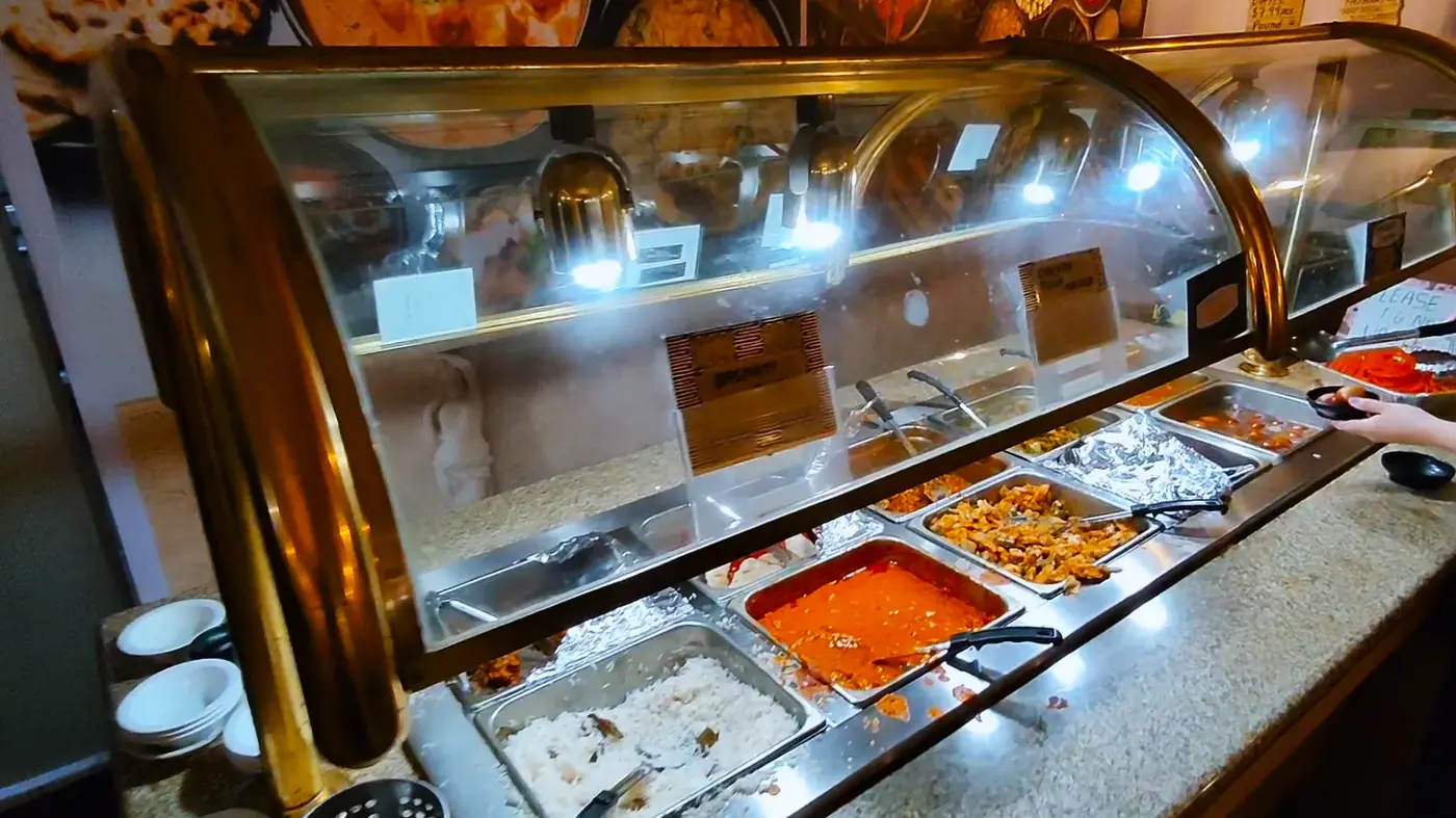
We found an Indian buffet restaurant in the center of the city. The food was not amazing, but the owner was very talkative. While adding food, he asked us where we were from and where we were going.
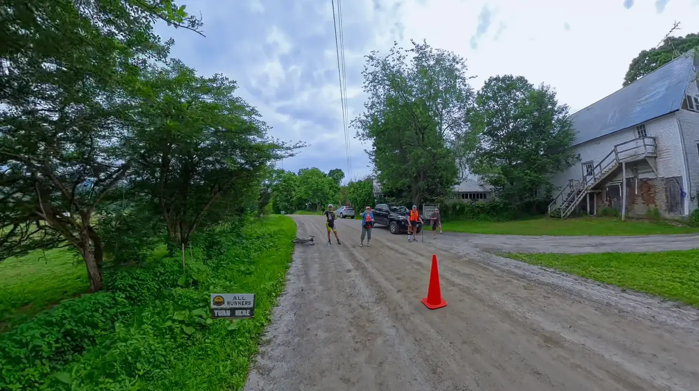
After eating, hit the road and continue eastward.
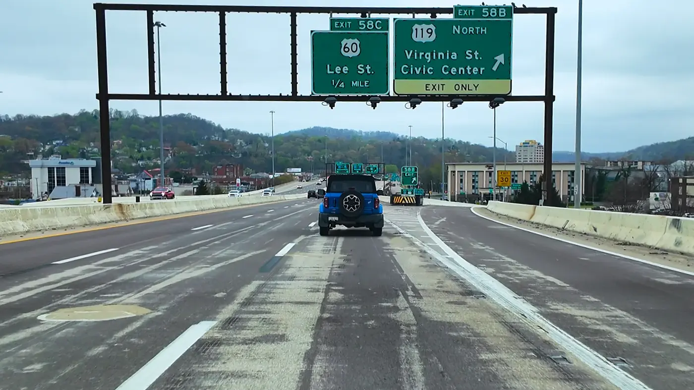
On the elevated road, Tesla's FSD (fully autonomous driving) is obviously not very good at dealing with this multi-layered three-dimensional road network that is intertwined up and down, and will get "lost" from time to time.
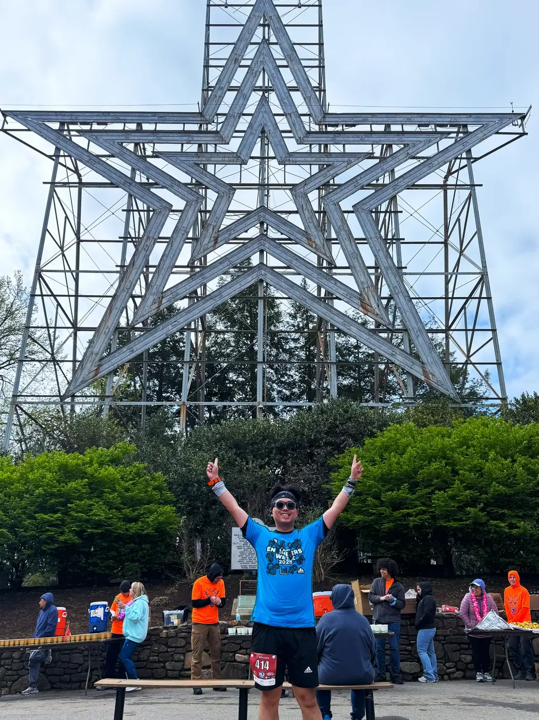
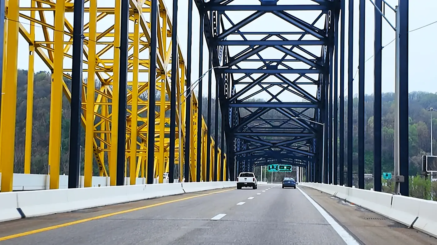
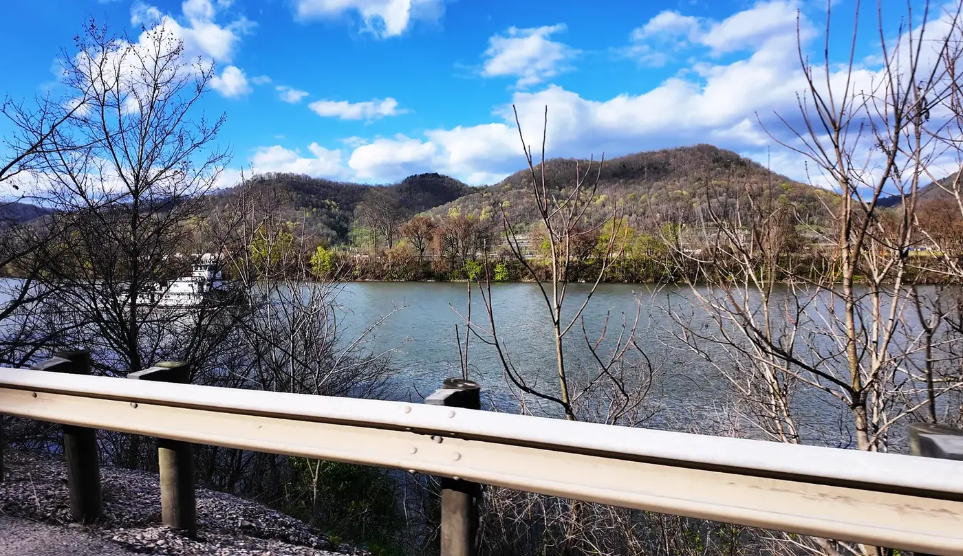
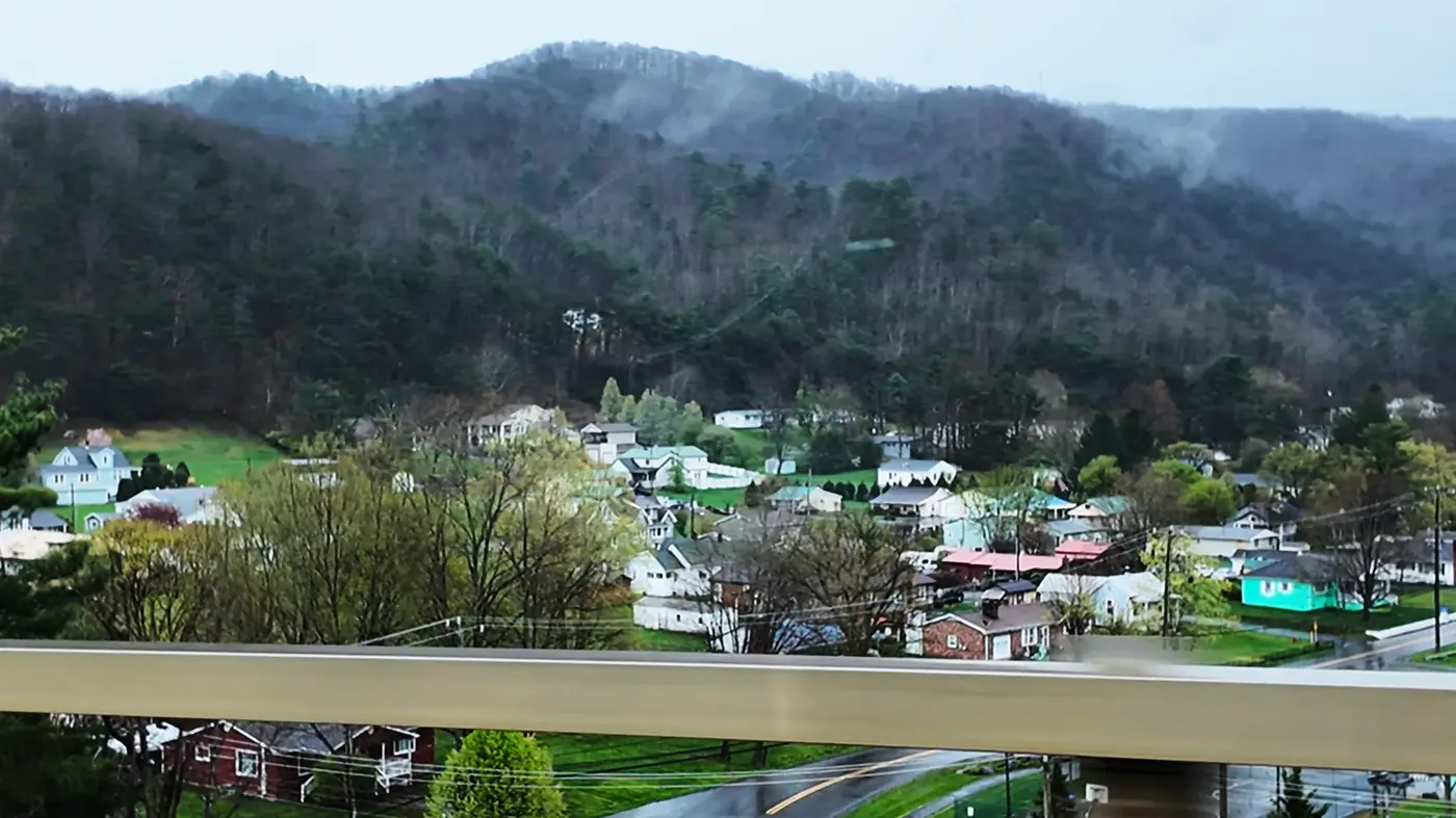
Siqi had to manually take over and pull it back from the wrong path. Crossing a yellow and blue steel bridge, it is the Fort Hill Bridge across the Kanawha River. The lines of the iron frame look like a huge spider web in the fog. The mountains in the distance are shrouded in mist, and the small town houses at the foot of the mountains are scattered in rows on the green slopes, like patches attached to the waist of the Appalachian Mountains.
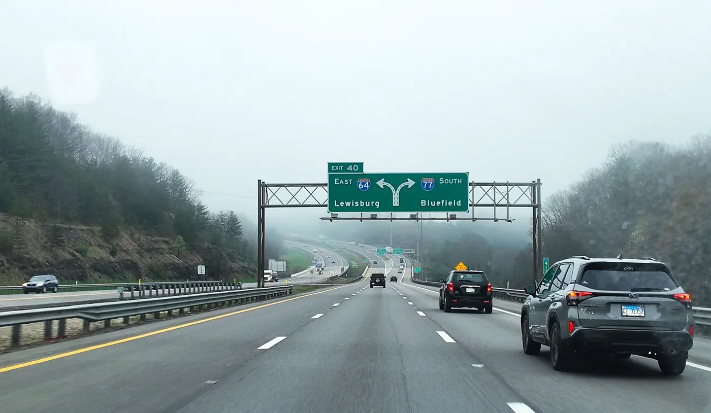
The road is getting narrower and narrower, and the mountains are getting higher and higher.
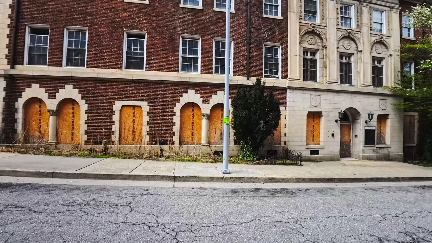
After more than seven hours of travel, we finally arrived at our destination: Roanoke.
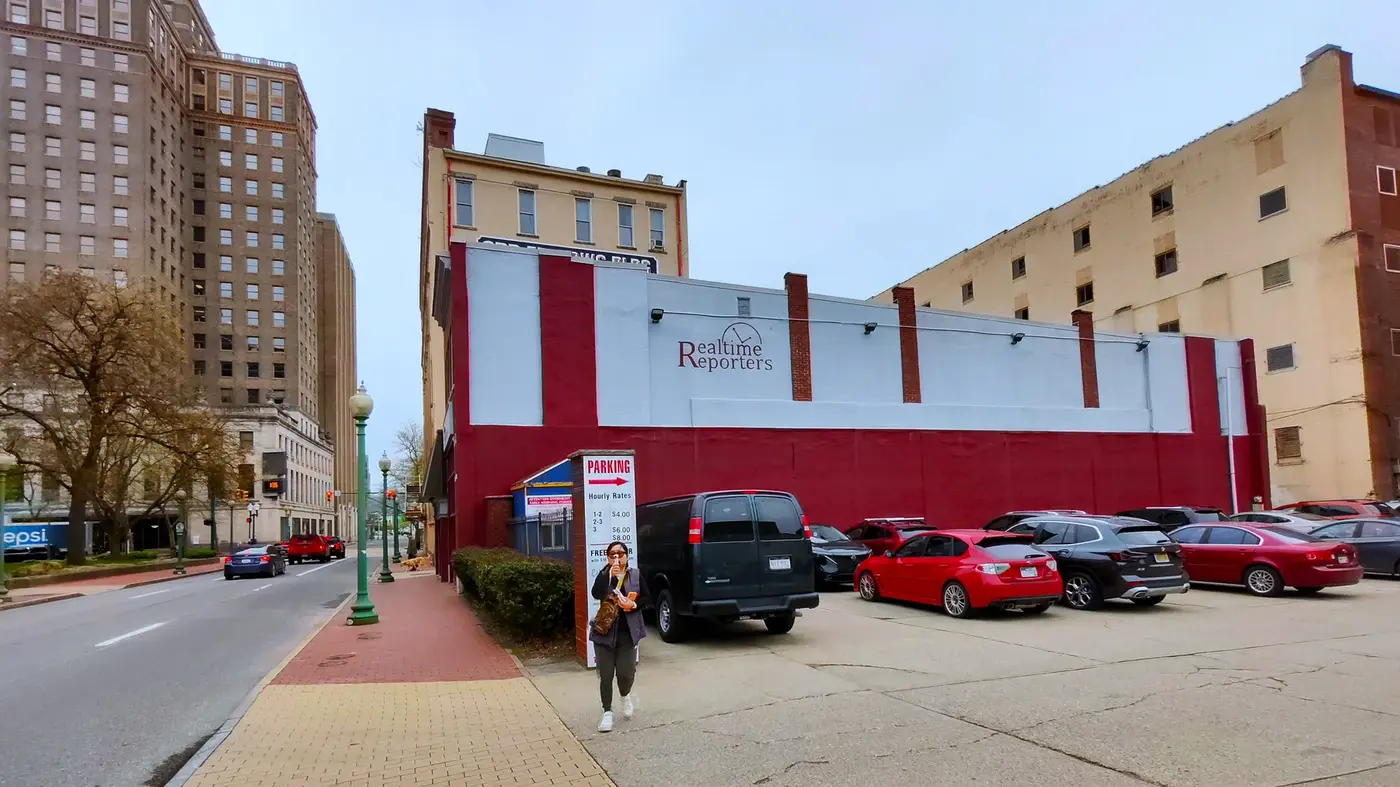
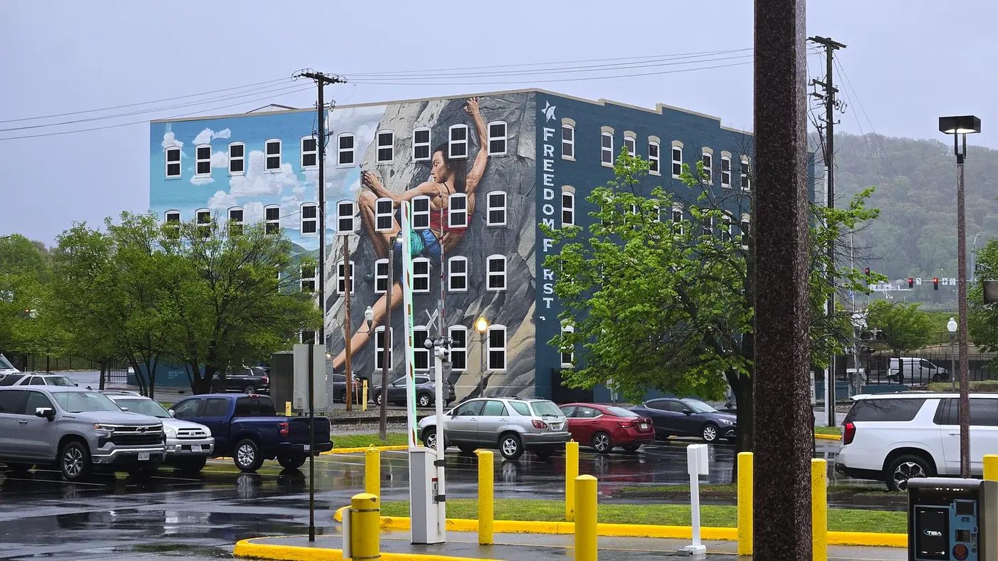
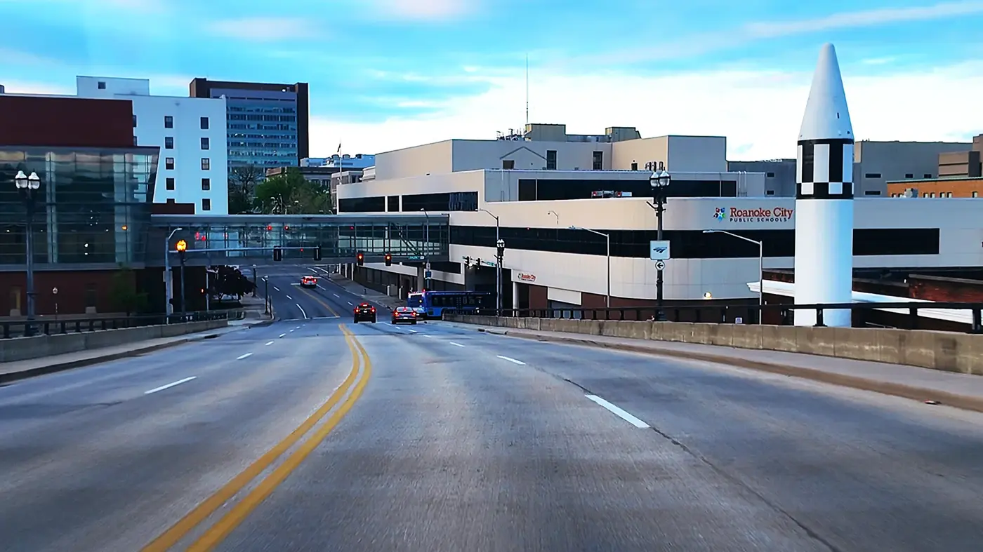
Nestled in the Blue Ridge Valley, this city has a population of less than 100,000 and is quiet and clean. In the past it was a railway town, but now it is famous for its outdoor sports and artistic atmosphere. As soon as I parked my car in the downtown parking lot, I looked up and saw a giant mural on the entire building: a rock climber reaching for the rock, with clouds and mountains in the background, and underneath it read: "Freedom First."
On a rainy day, this image is inexplicably powerful. Perhaps, this is the spirit of this mountain city, freedom, stubbornness, and climbing up.
Continuing on, you’ll find Elmwood Park, where the marathon’s expo is located.
The rain hasn't stopped yet, and there are a few tents set up in the park, and volunteers are handing out banners and T-shirts. The blue commemorative shirt was printed with a winding contour line and a capital slogan:
“America’s Toughest Road Marathon.” America’s toughest road race.
There's an aura of "I know you're going to die, but you still have to go."
After collecting the equipment, we drove to the hotel.
This time I deliberately chose a hotel that can charge Tesla, which is a complete farewell to "battery anxiety". The rain was still falling outside the window, and the night view of the mountain city was reflected on the glass, and the lights were broken into patches of blue light.
Chapter 2|When marathon meets mountain climbing race
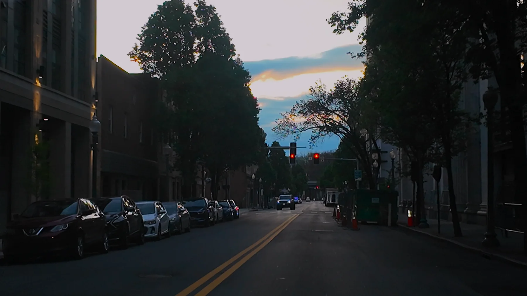
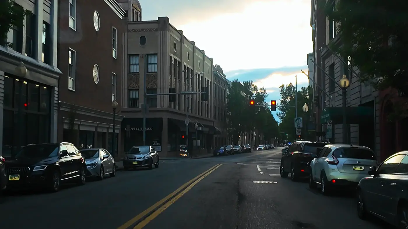
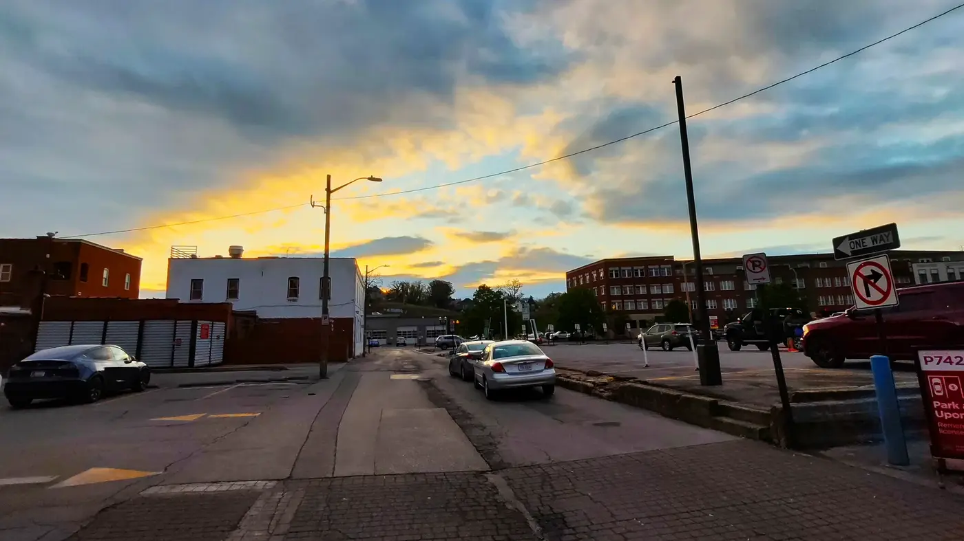
The next morning we drove into downtown Roanoke. It was just dawn, and there was a golden fire cloud on the horizon, emerging from the clouds little by little, shining on the old buildings on the street, which was a bit romantic.
The road is wide and clean, with small red-brick buildings scattered on both sides. Although the city is small, it exudes an "exquisite mountain" atmosphere.
We found a parking lot near the starting point. On the April morning, the wind in the mountains was still a little moist.
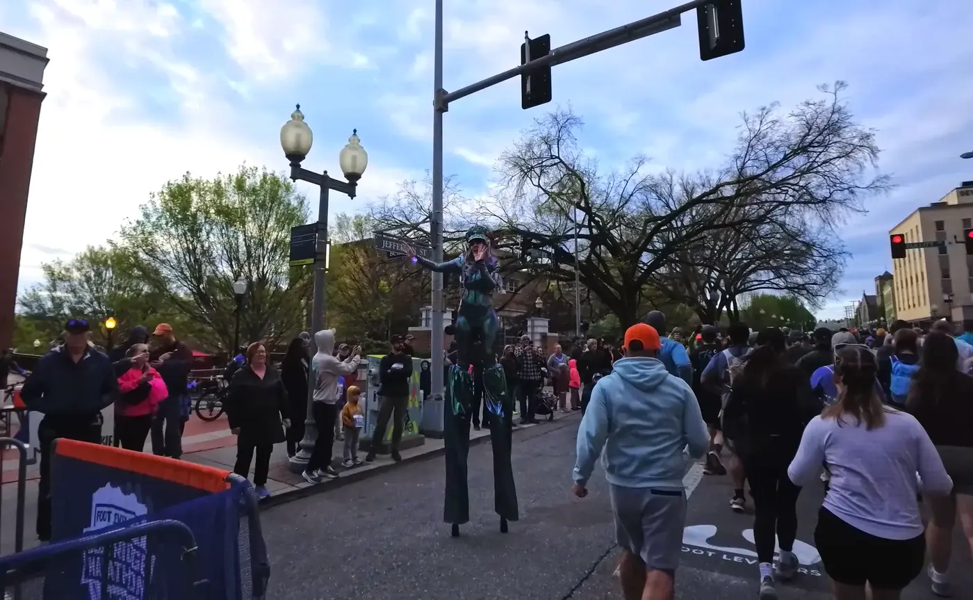
The starting point is in Downtown Roanoke, where there are old-fashioned street signs and modern cafes.
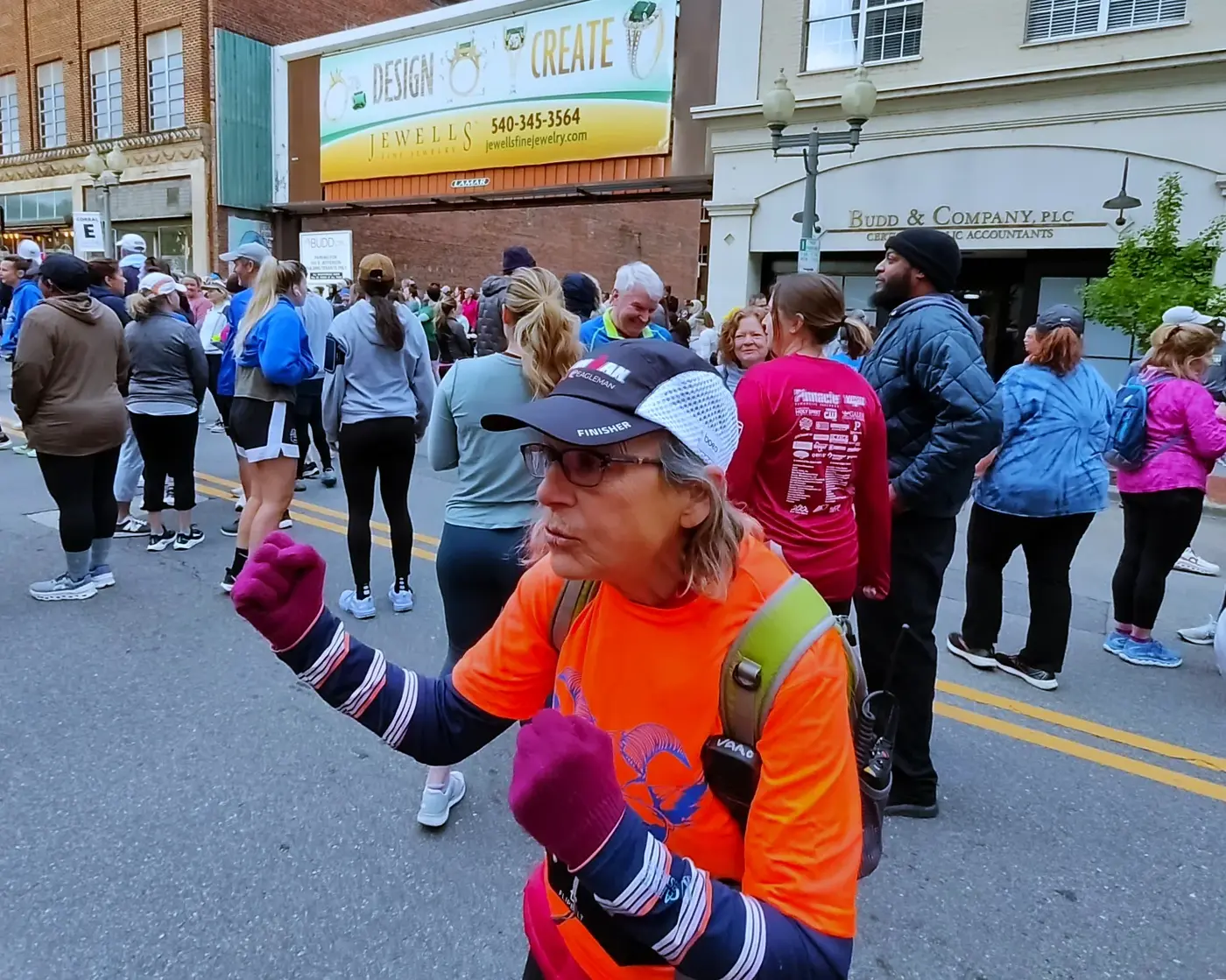
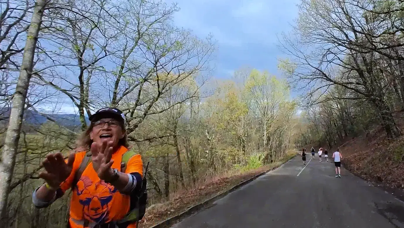
We also met a running aunt from Alaska. She was the pacer this time. She was wearing an orange commemorative shirt and hat and had a particularly cheerful smile.
Seeing that she was shaking from the cold, I simply gave her my coat and added Siqi as a friend.
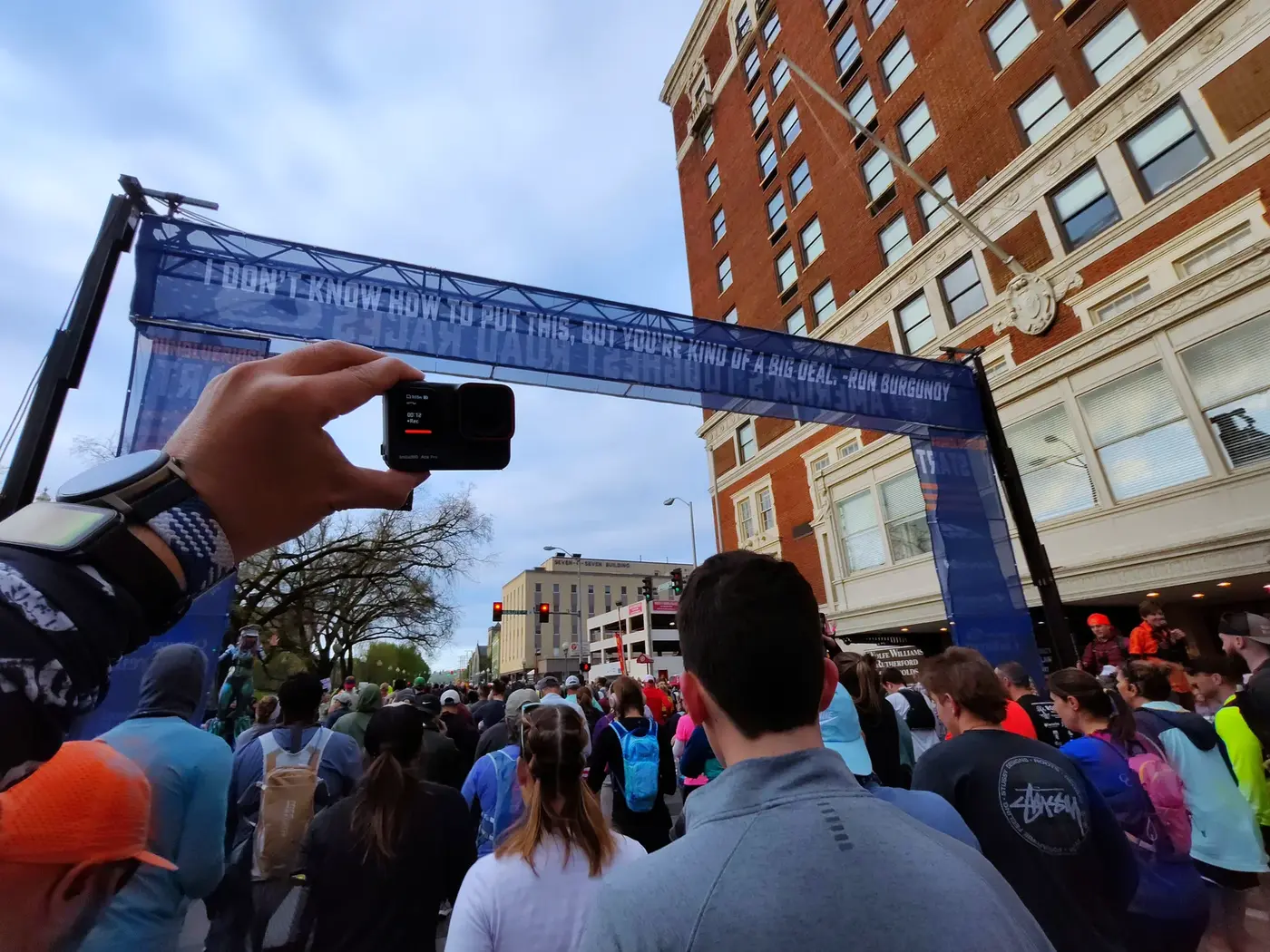
There is a sentence hanging on the starting arch:
> “I don’t know how to put this, but you’re kind of a big deal.”
>
>
> (I don’t know what to say, but you are really amazing.)
>
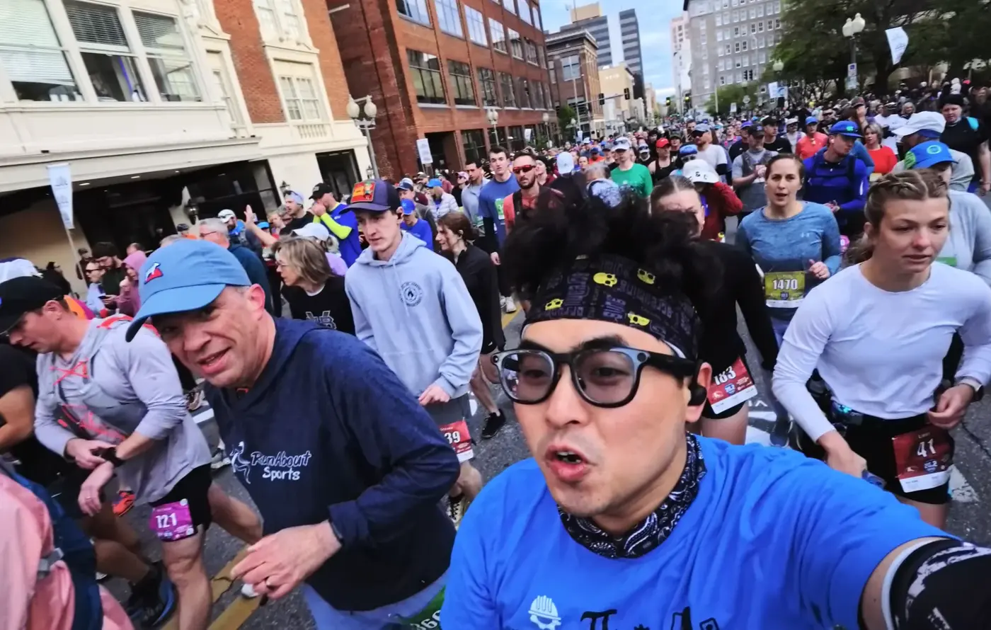
As the music started playing and the crowd was buzzing, we officially rushed out of the starting point.
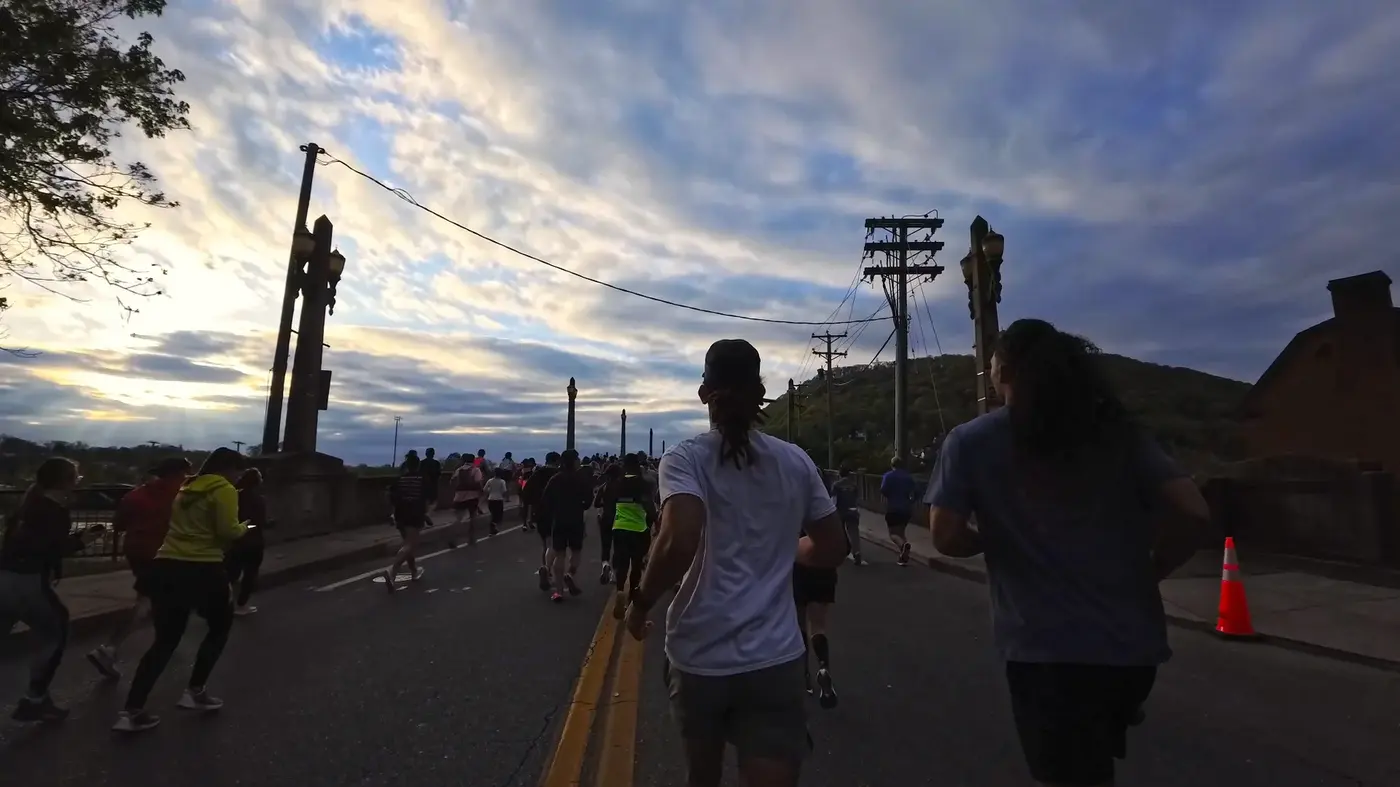
The light and shadow intertwined on the bridge, the clouds rolled, and it felt like I was rushing into a moving painting.
Soon, the city scenery gradually faded away and was replaced by mountains and forests.
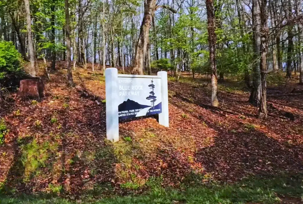
We entered the famous Mill Mountain Park, which is connected to the Blue Ridge Parkway and is the soul of the entire game.
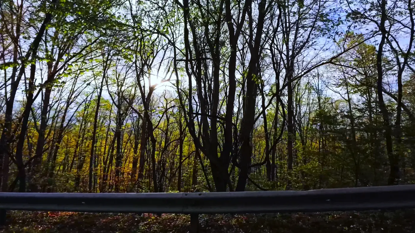
The sun shines through the treetops, and mottled light and shadow fall on the ground. The air is as clear as freshly unscrewed mineral water.
But behind the beautiful scenery is a nightmare-level uphill climb.
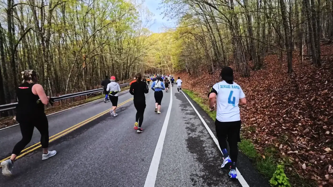
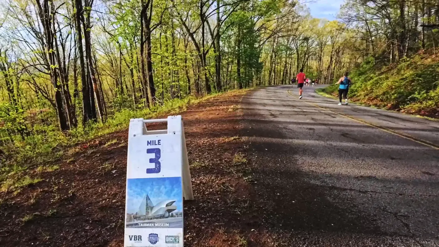
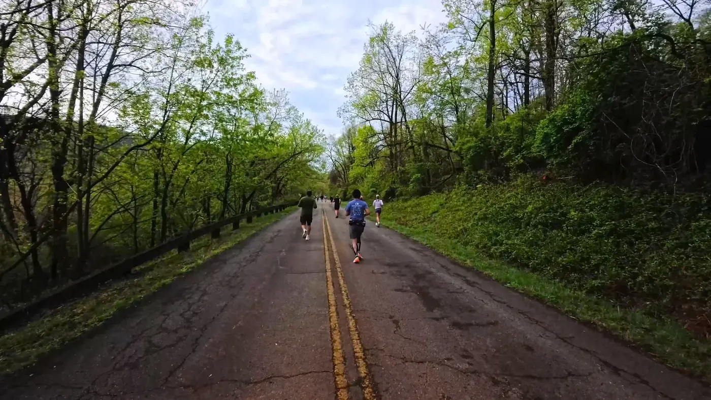
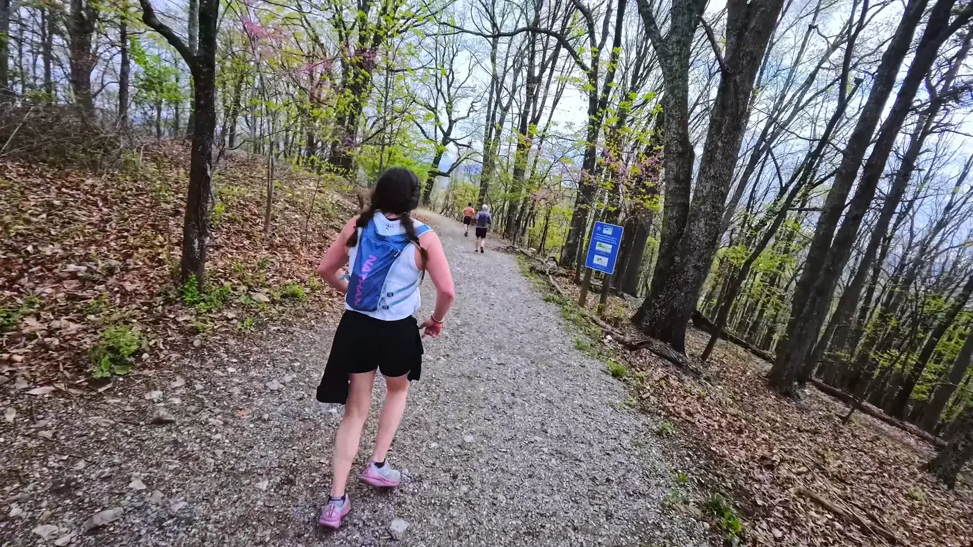
The first 3 miles are almost all climbing. The slope is not steep, but it is continuous.
There was a guy wearing a *Sergio Ramos* jersey on the side of the road.

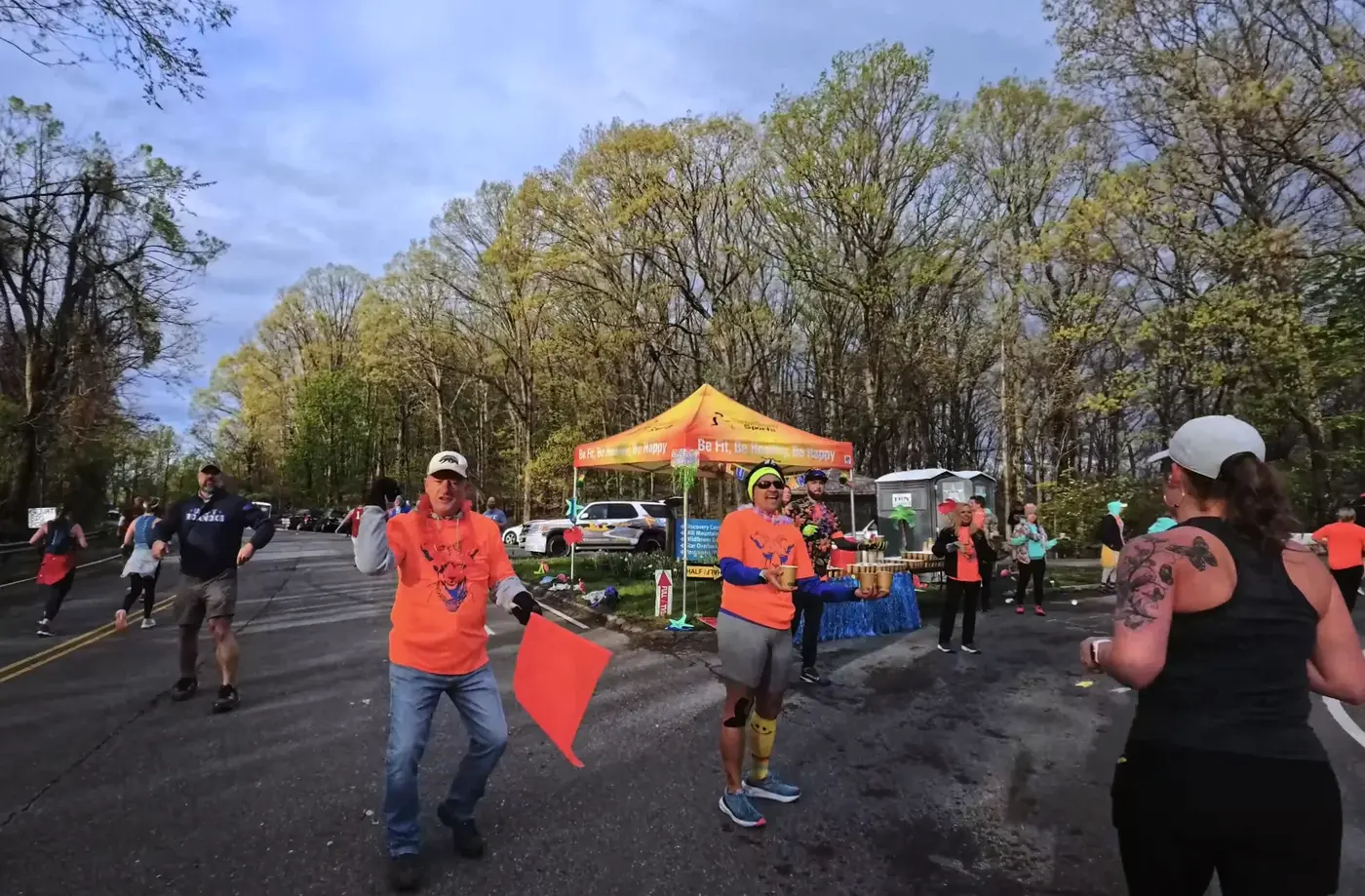
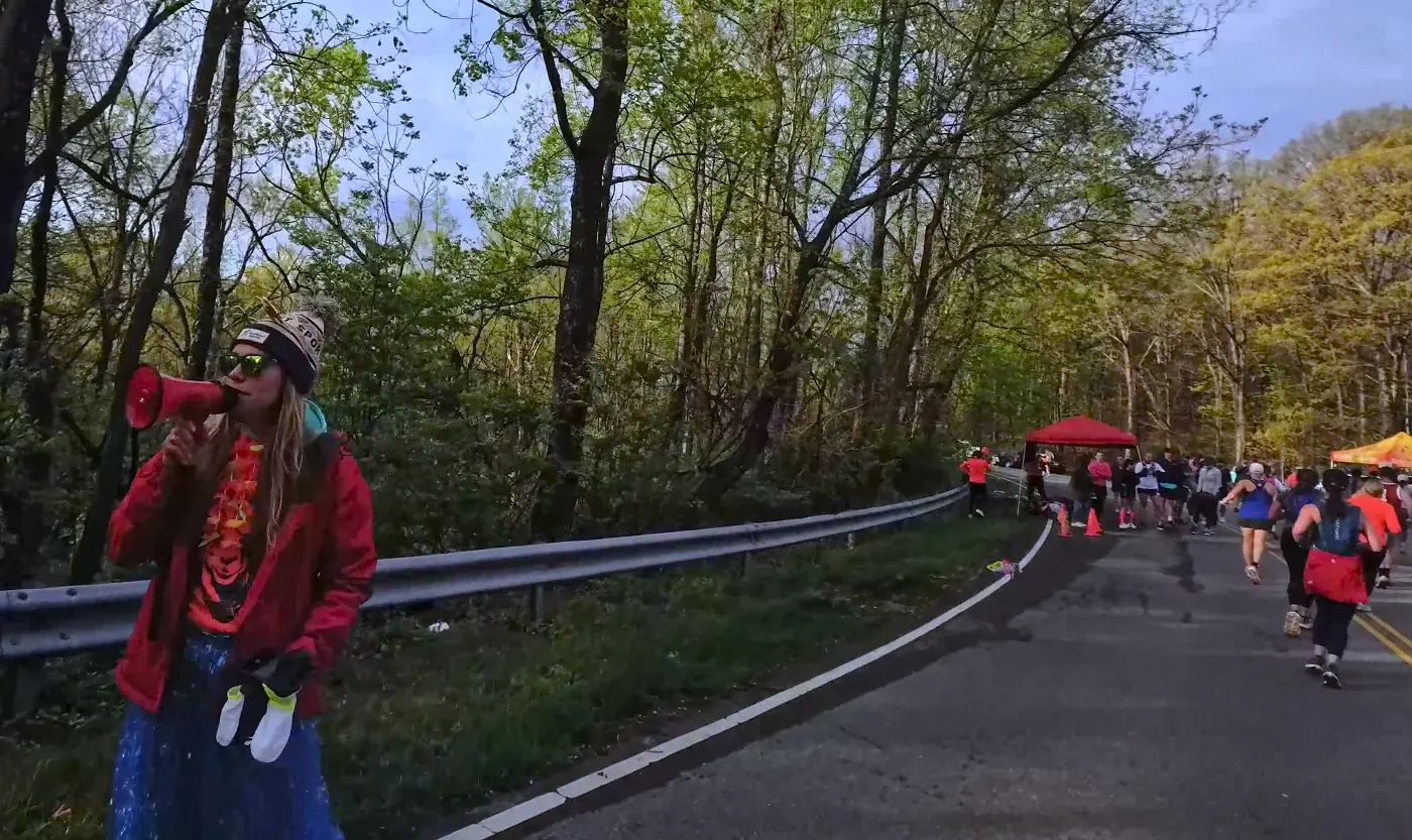
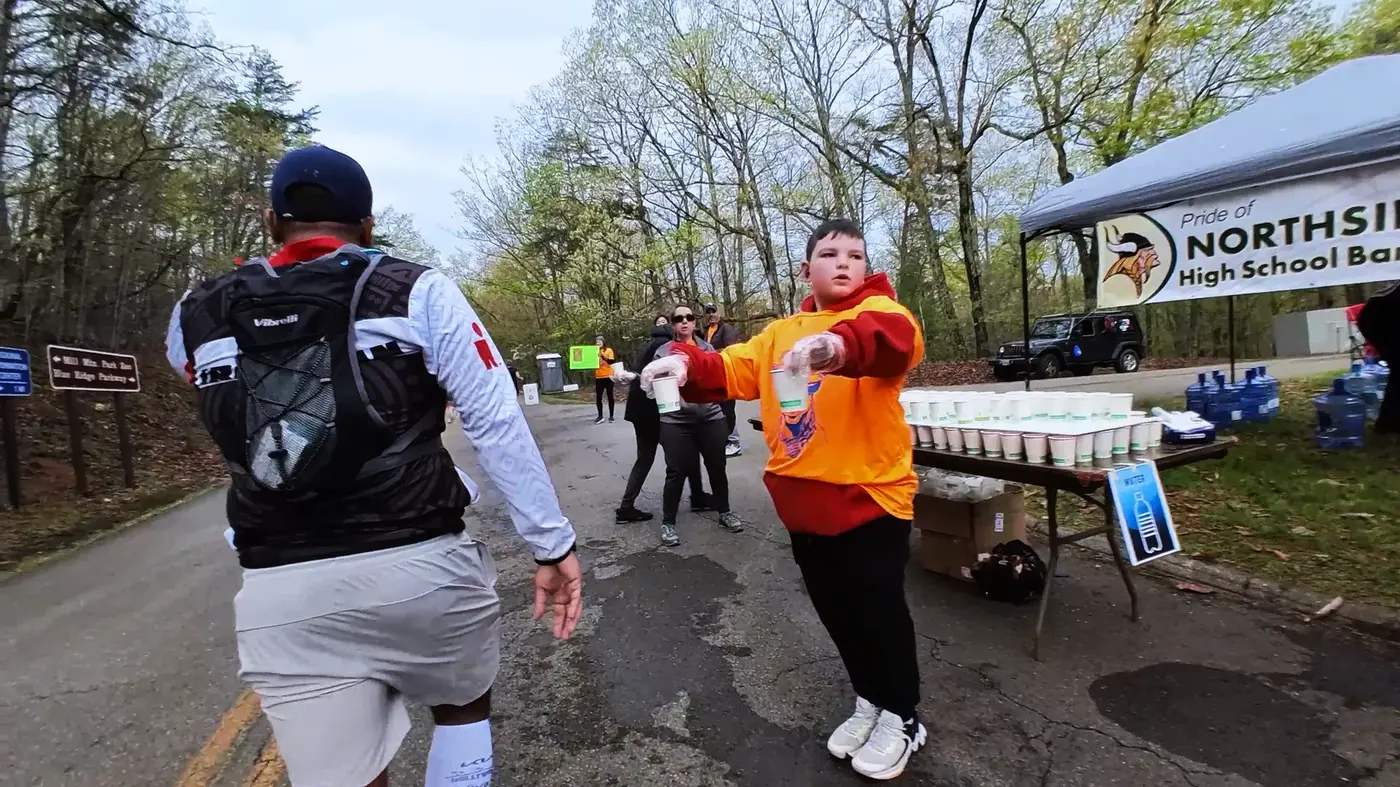
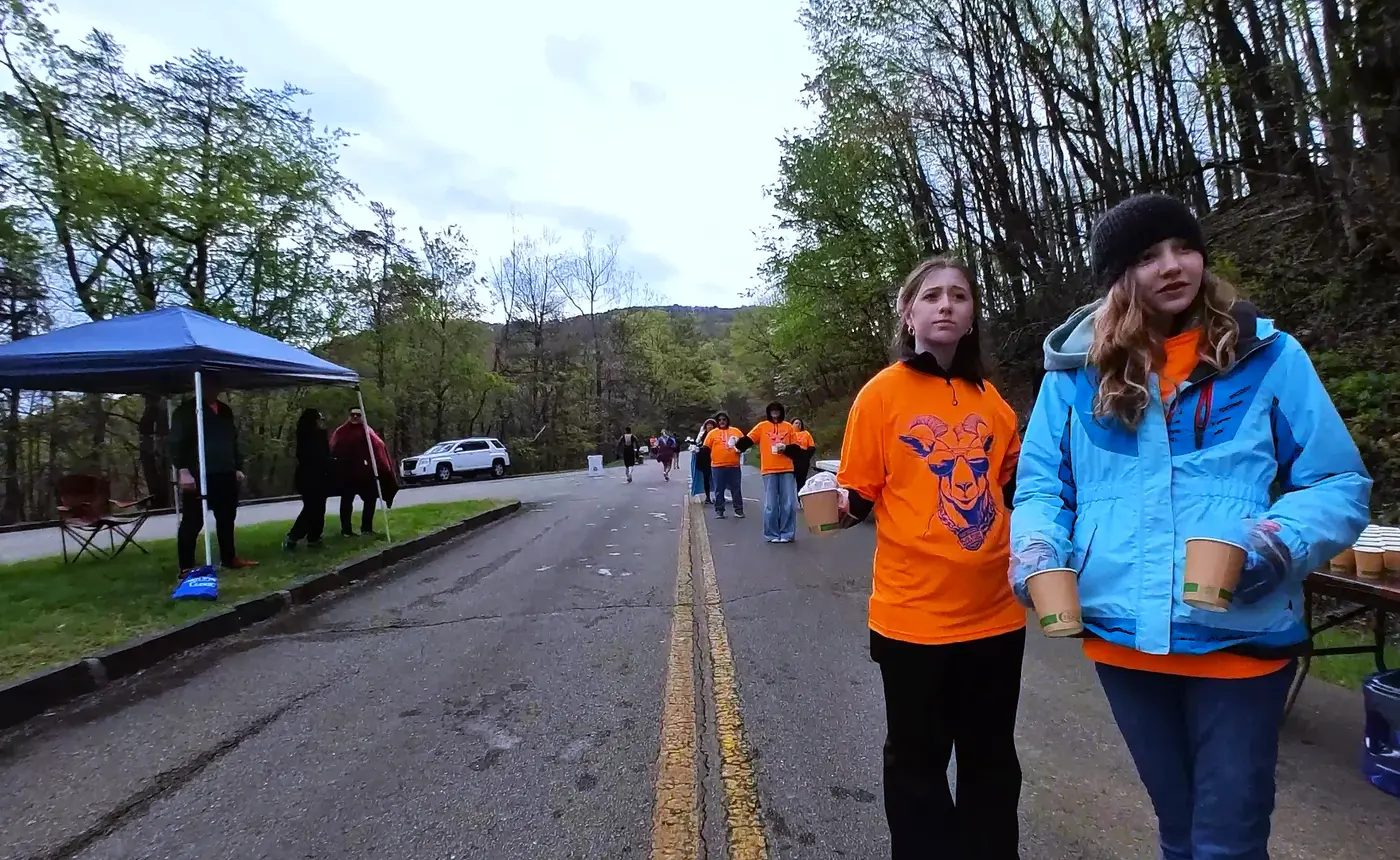
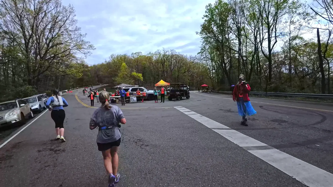
There was a supply station three miles away. They held up their water glasses and shook them in the wind, shouting "You got this!"
As I ran further, the trees became denser and denser.
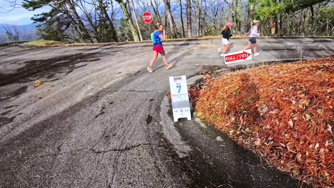
Around the sixth mile, the gradient becomes full again, and this climb is so narrow that only two people can walk abreast.
I started walking, and when I looked up I could see the treetops and a sliver of blue sky.
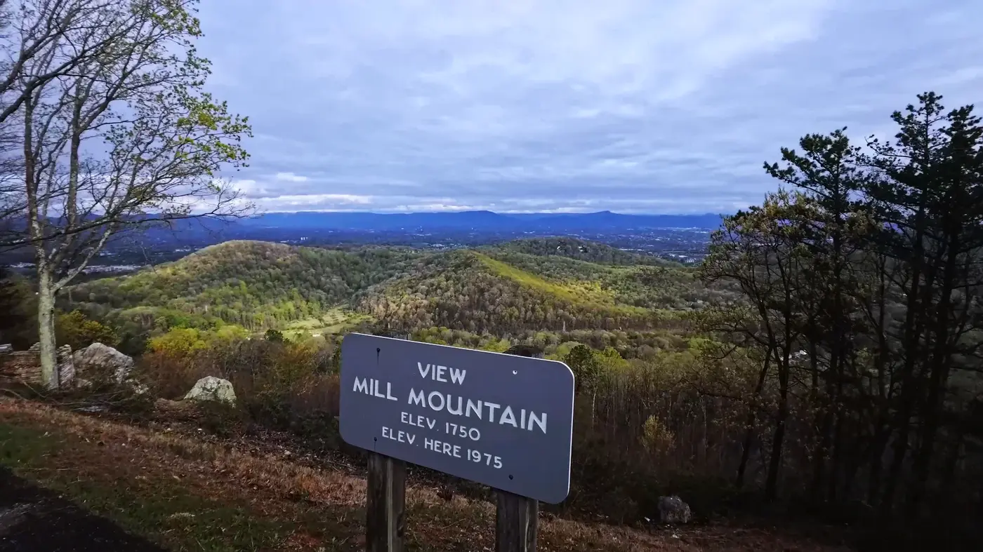
Finally, out of breath, we reached the top of the mountain:
There is a viewpoint at the top of the mountain called View Mill Mountain, which is 1,750 feet above sea level.
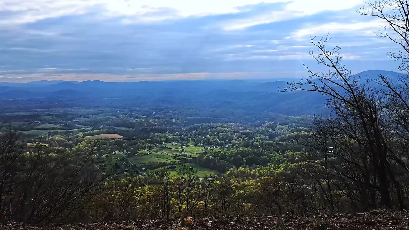
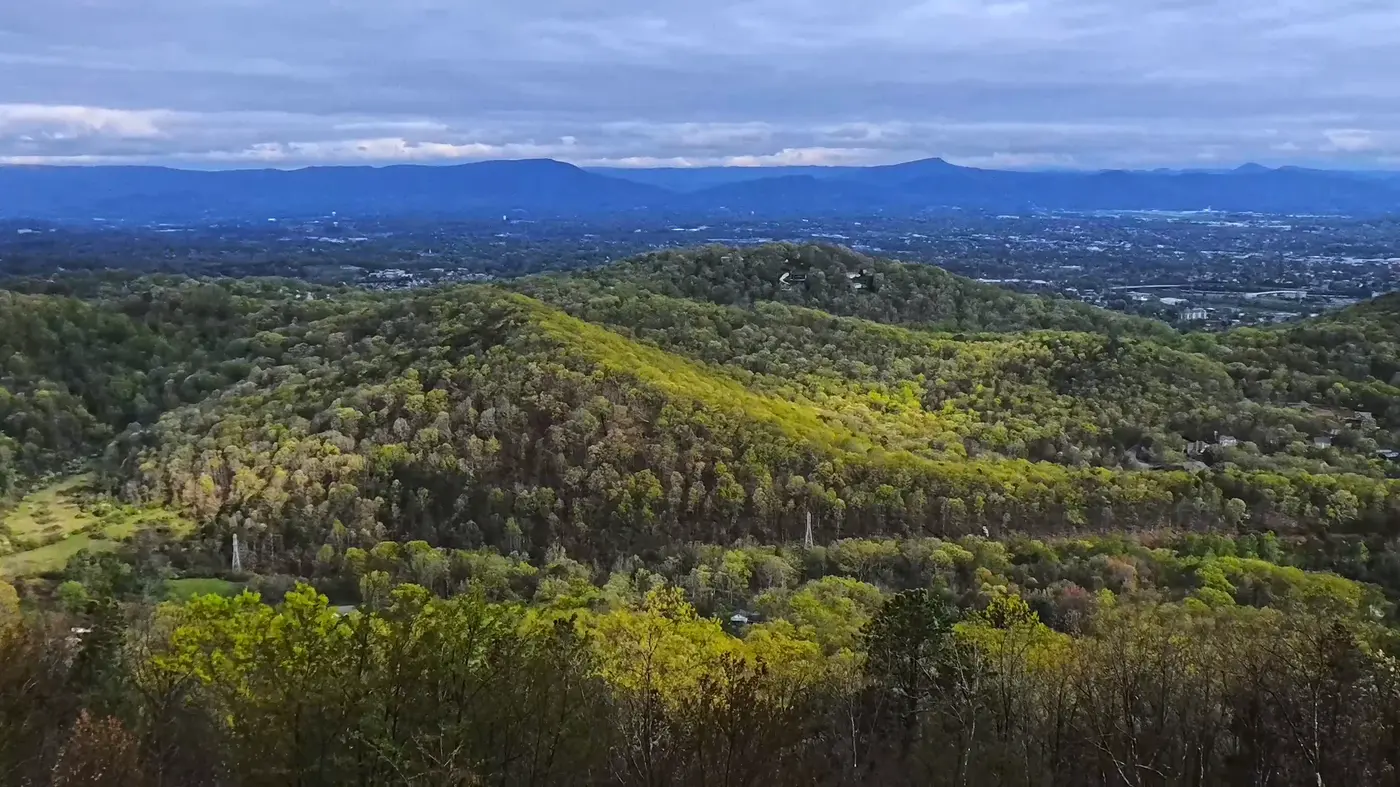
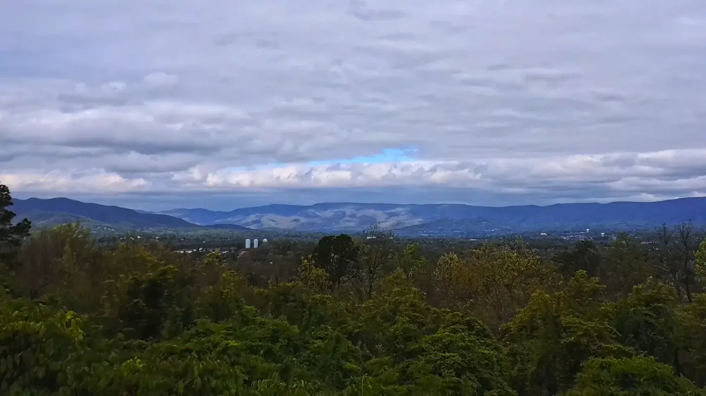
The view here suddenly opens up: the distant ridges spread out layer by layer;
The green mountain forest glows with a faint blue light in the mist:
Turns out that’s where “Blue Ridge” comes from.
Not a color filter, but the hazy blue given by nature.
Taking pictures, panting, and drinking water, going downhill is indeed not as easy as imagined.
Steep slopes test not only leg strength but also courage.
If the center of gravity is too far forward, it will easily roll down the hill; if it is too far back, it will feel like braking.
But it is this combination of sadism and beauty that makes people find it interesting.
Chapter 3|Towards the Blue Ridge Star
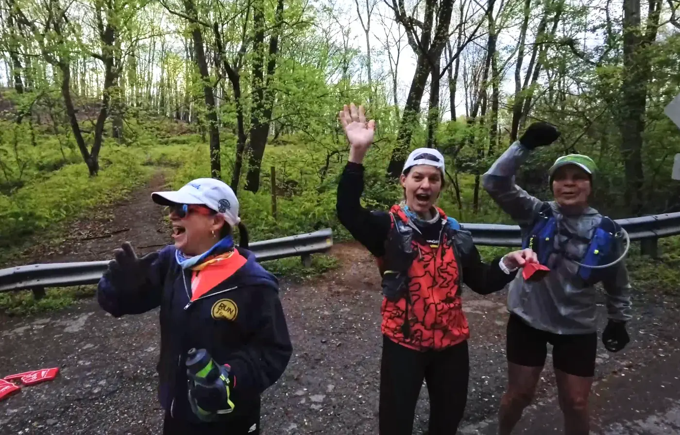
On the way downhill, I met the runner aunt from Alaska again.
She waved to me from a distance, her smile brighter than the sun.
I quickly responded, and she later specifically sent a message to Siqi, saying that she had given the coat to another runner who was shivering from the cold.
Warmth is also relaying.
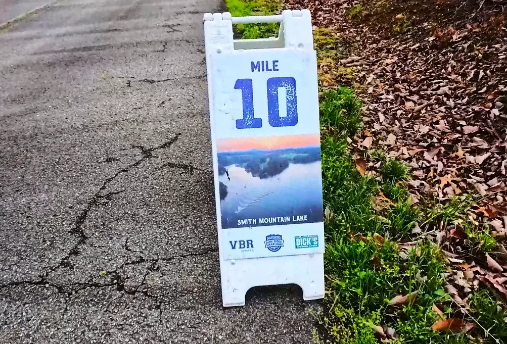
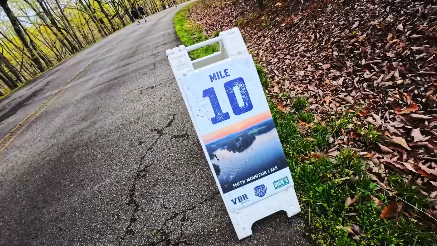
It didn’t take long to reach the mileage sign at mile 10, with a photo printed on it: Smith Mountain Lake.
It is one of the most famous lakes in Virginia and is known as the "Eye of the Blue Ridge."
As I continued running forward, the smell of the forest became stronger and stronger.
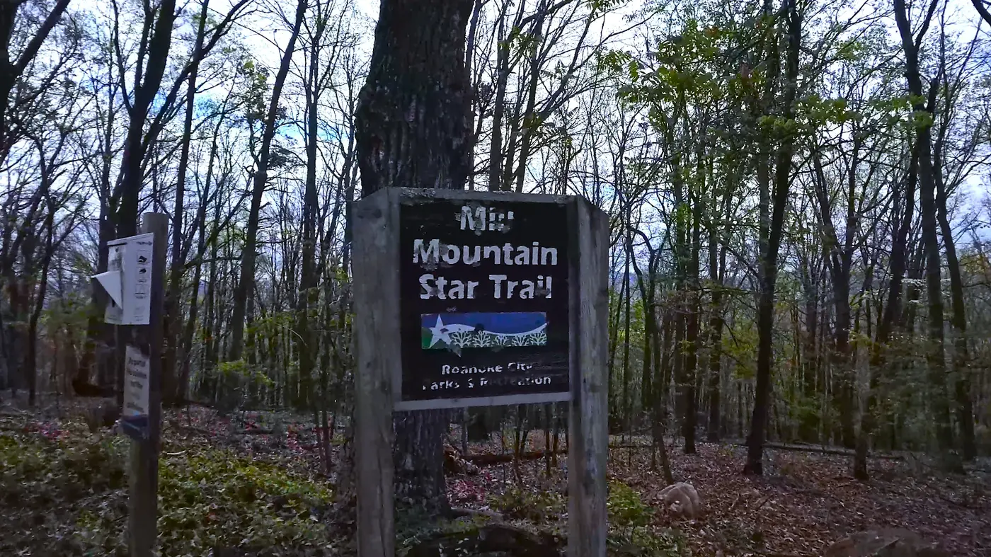
The road surface changed from asphalt to gravel and we entered the Mill Mountain Star Trail: a signature section of the race and one that all runners will remember.
Finally, after turning a corner, a vast expanse of land came into view:
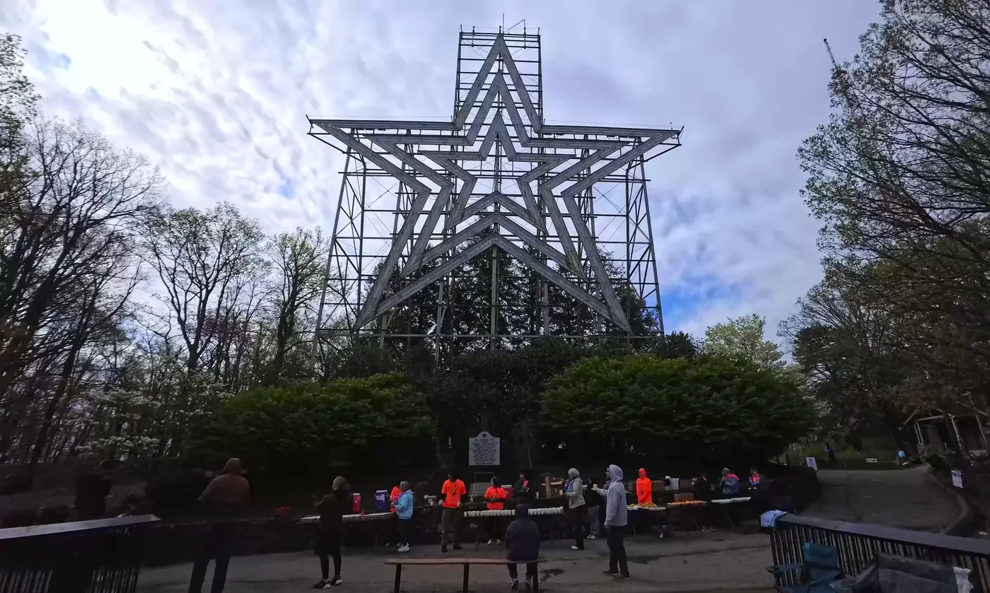
That's the Roanoke Star.
This huge 27-meter-tall steel star was built in 1949 and was originally intended for Christmas decoration, but people liked it so much that it remains today.
It lights up at night and becomes a "beacon" of the Blue Ridge Valley.
In the United States, the star is known as "the world's largest independent photo star."
It is not only a landmark, but also a symbol of the city's spirit. It also shines among the mountains.
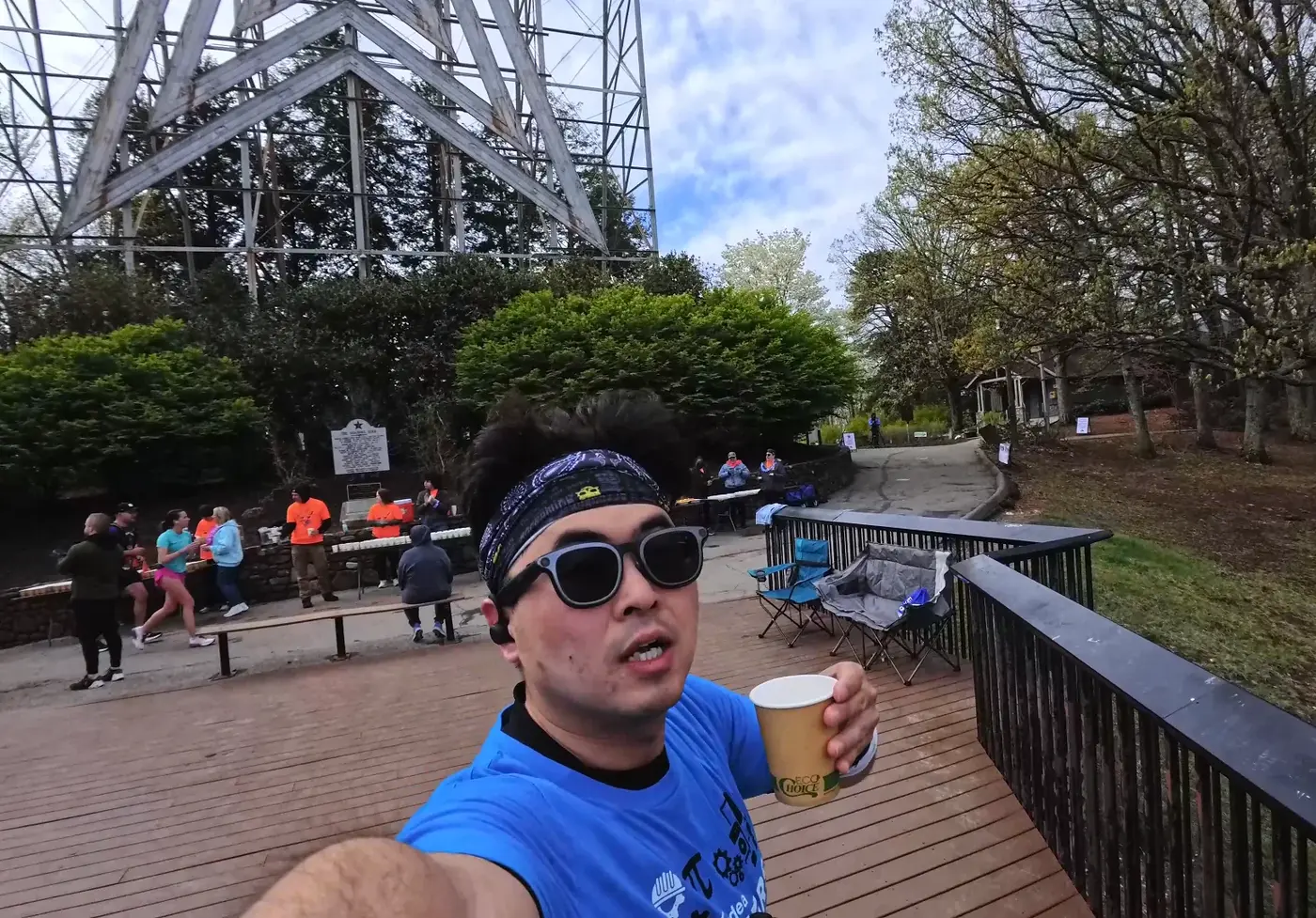
I took a photo with the help of volunteers,
The background is a silver-white steel frame and cloudy clouds.
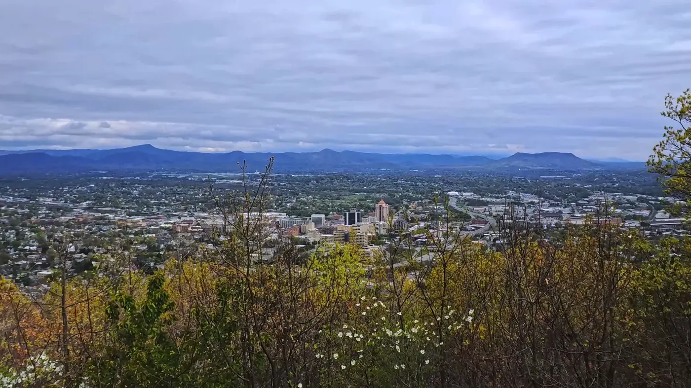
On the observation deck next to the stars, I looked down:
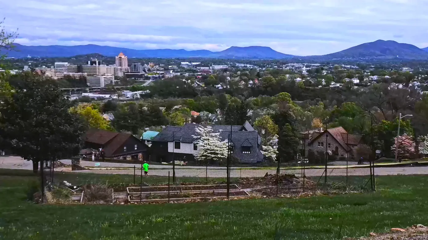
The entire city of Roanoke spreads out beneath your feet.
Nearby are lush green woods,
In the middle are sparse tall buildings and golden domes.
Farther away are the rolling Blue Ridge mountains.
The weather was overcast, there was no dazzling sunlight, and the air was cool, making it extremely comfortable to run.
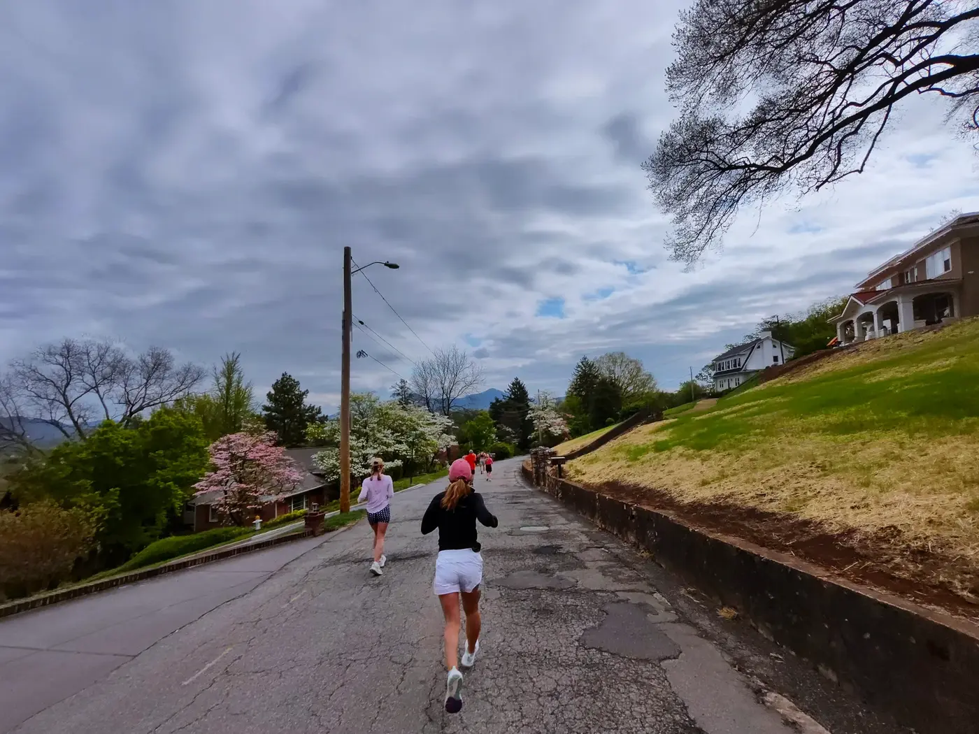
When I returned to the asphalt road, the trees on both sides gradually gave way to residential areas. The mottled wooden houses, pink and white flower trees, and green grass formed a spring picture of a small town at the foot of the mountain.
This area is called South Roanoke Neighborhood.
It is one of the most beautiful communities in the city. The houses are built on rolling hills.
The garden is filled with cherry blossoms and azaleas.
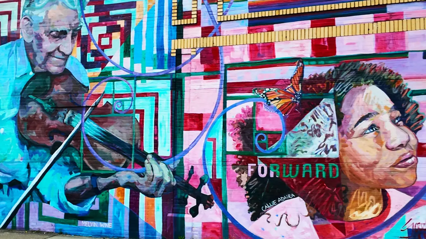
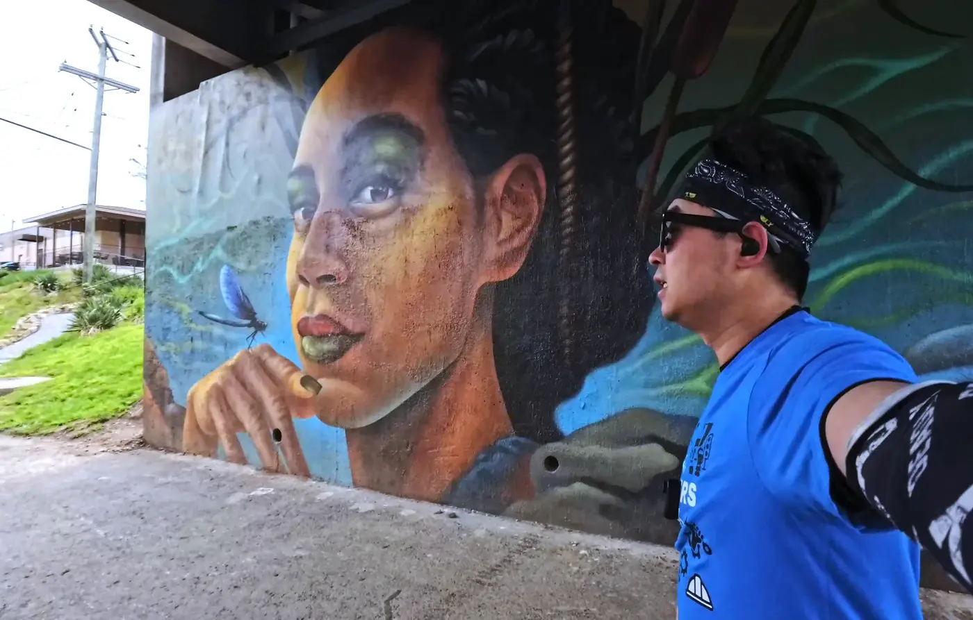
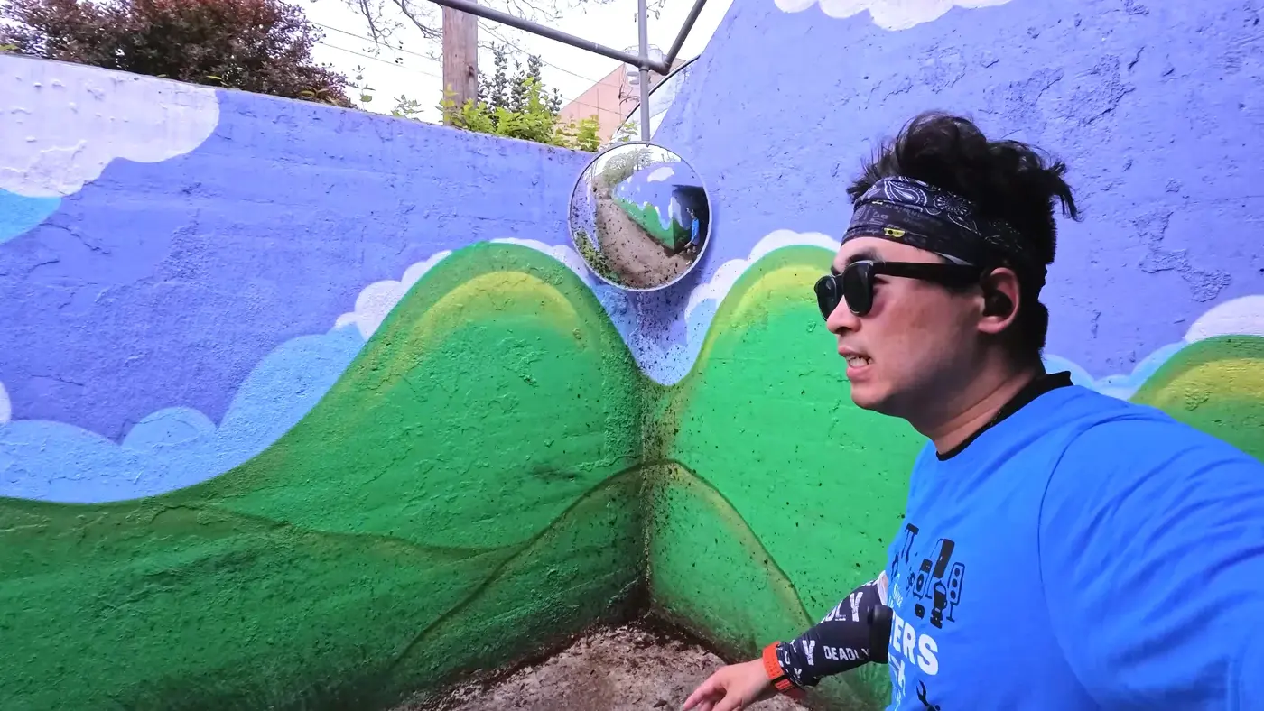
Then I got into a bridge hole, and the wall was covered with colorful murals.
It is the side face of a woman with a gentle expression and a dragonfly parked in front of her eyes.
It was the work of a local artist and represented the nature and life of Roanoke.
After exiting the bridge hole, it is the riverside section.
The river is called the Roanoke River,
It is 410 miles long, winding from the Appalachian Mountains to the sea.
It runs through the city and this game.
This section of the riverside trail is gentle and open, with the wind carrying water vapor on your face.
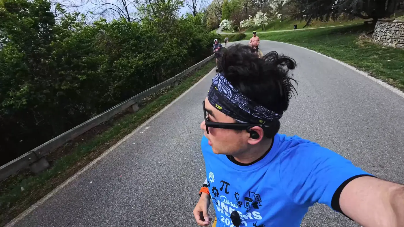
I was passed by a group of shirtless muscular young men.
The turnaround is not far, 16 miles.
After passing through the large mural, we returned to the city.
You can also see a rugby field along this stretch of road.
That’s River’s Edge Sports Complex,
A community sports center with eye-catching white letters on the blue tunnel.
Running through it is like walking through a portal,
Back to the tranquility beyond the hustle and bustle.
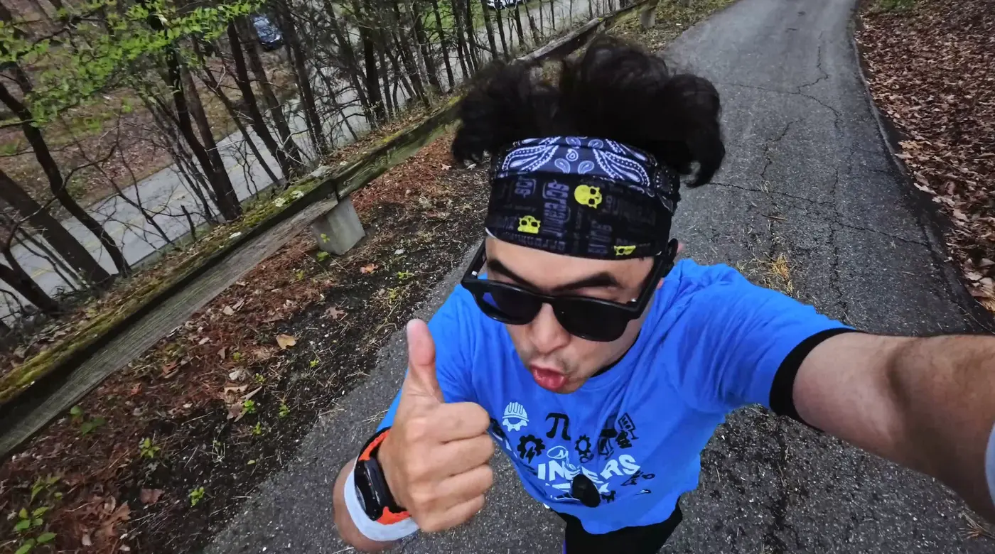
Chapter 4|The final sprint in the old industrial city
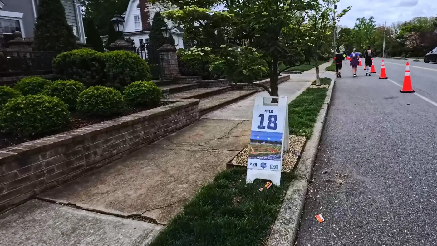
After 18 miles it started to go uphill again.
This section of the community at the foot of the mountain has more houses and is more popular than on the mountain.
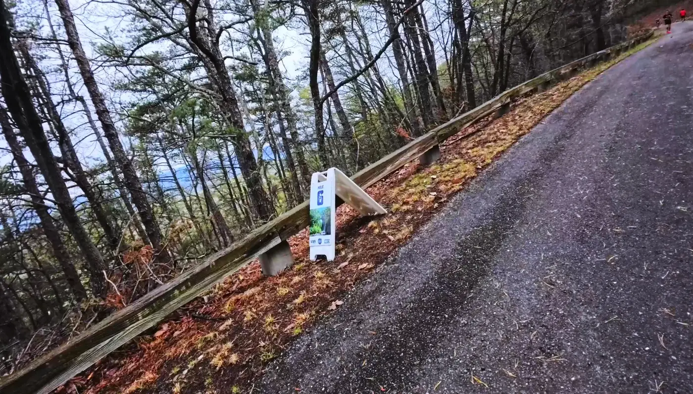
The climb was not steep, but it took a long time, and we finally reached the top when we were approaching 20 miles.
Descend back to the city and cross the iron bridge and railway.
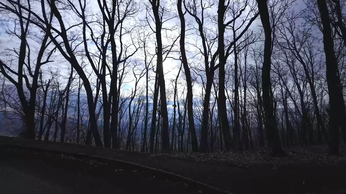
Below is the Roanoke River,
On both sides are old railway tracks and containers, rows of orange, black and gray.
This city was founded on the railway.
The whistle of the train mixed with the sound of wind, giving it a unique flavor of an old industrial city.
Mile 24, just two miles to go.
There are more and more spectators on the street, and residents of the community stand at the door waving and cheering.
The atmosphere was really good during this period, and running became much smoother.
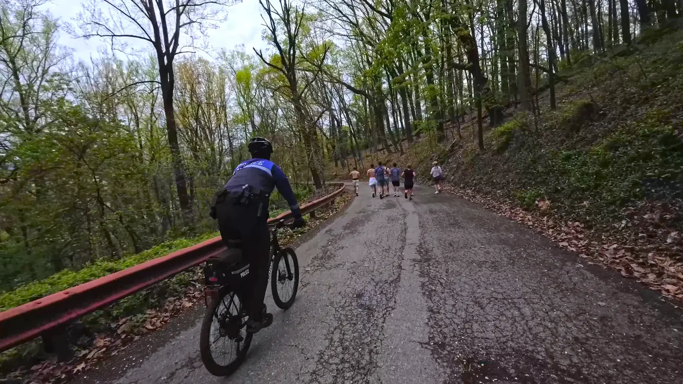
On the last mile back to the main city, police began to patrol the roadside to maintain traffic.
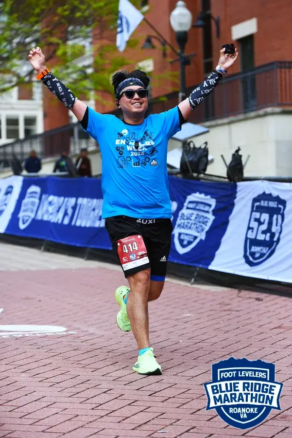
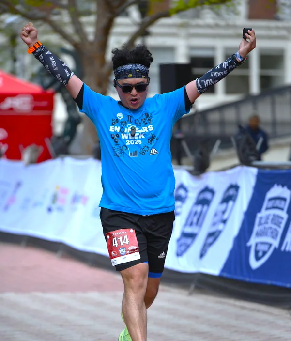
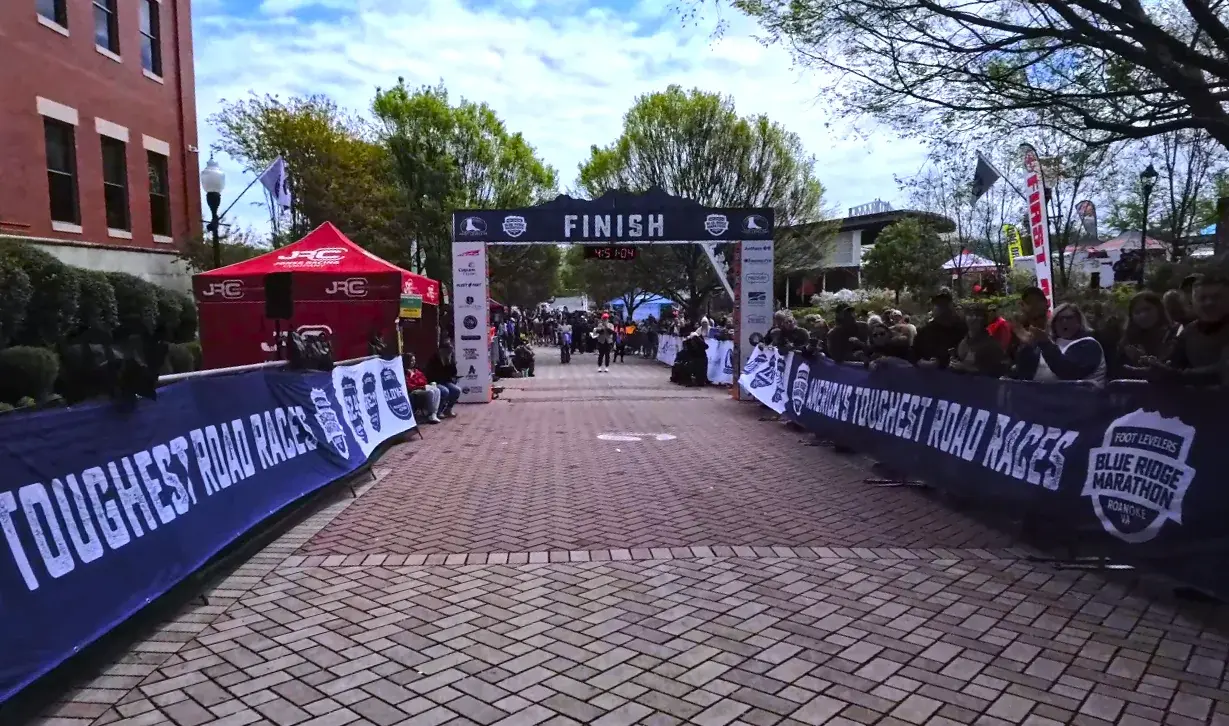
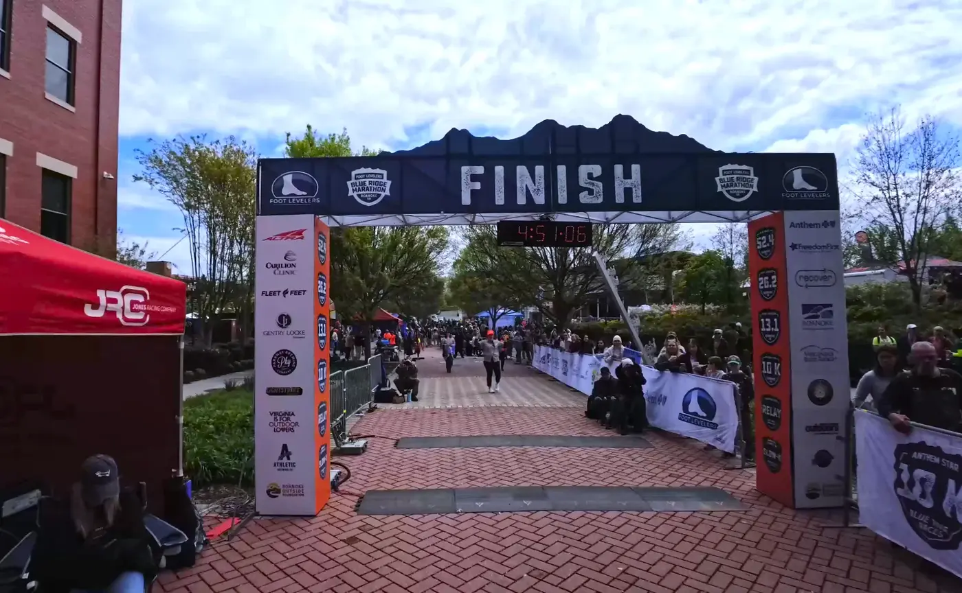
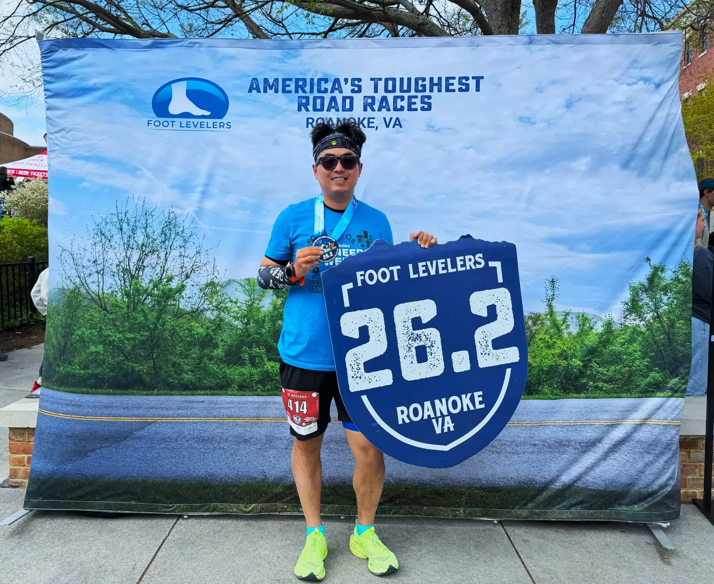
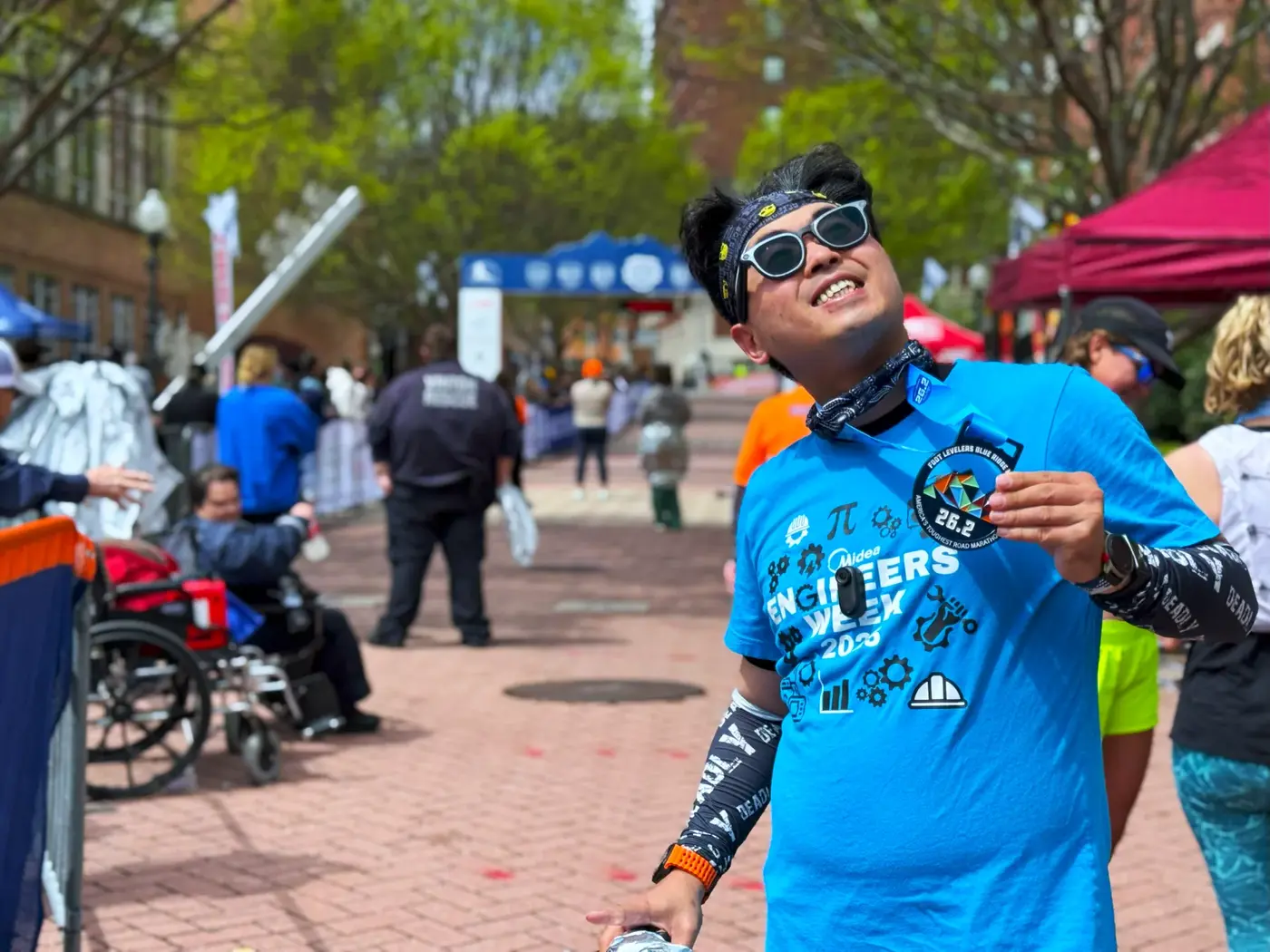
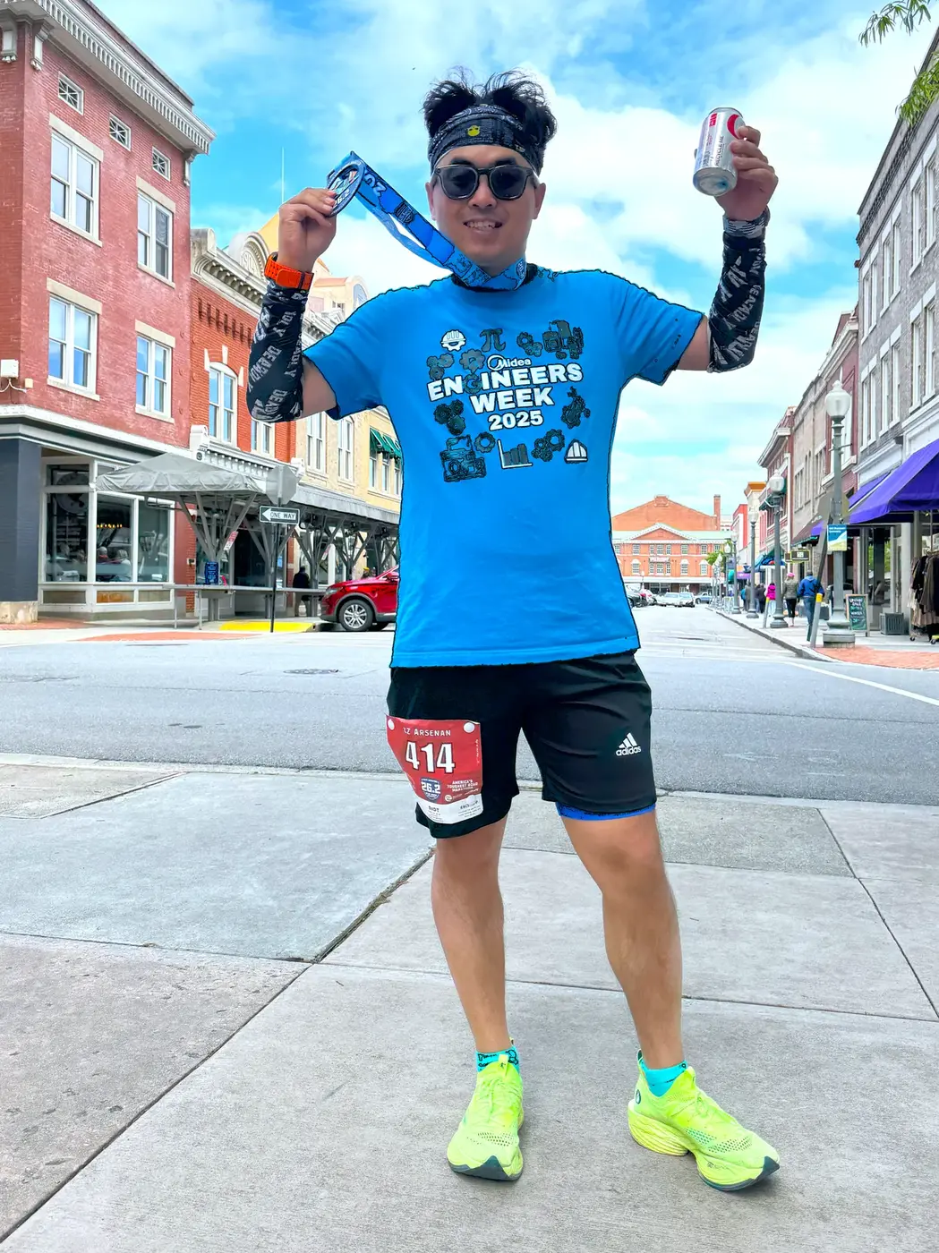
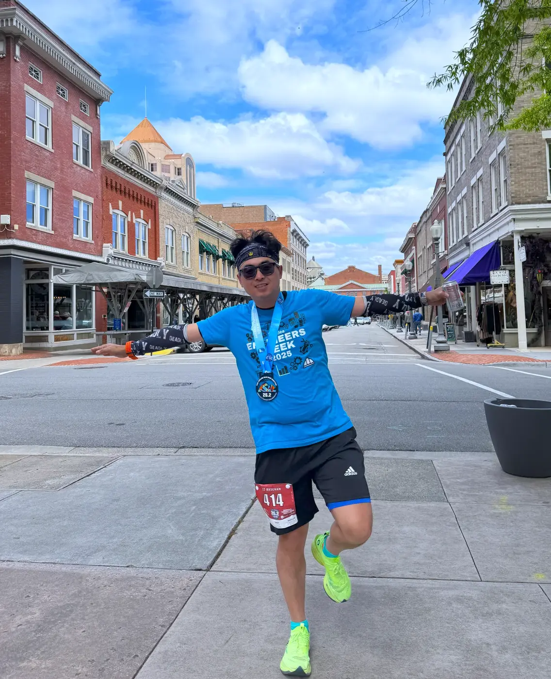
I saw the mile 26 sign, took a deep breath, raised my arms, and crossed the line.
The photographer happened to capture that moment,
My pockets are bulging and my fat is not hidden, but it doesn’t matter.
Finished in early 4 hours and 50’s.
On this track known as “America’s Toughest Road Marathon”,
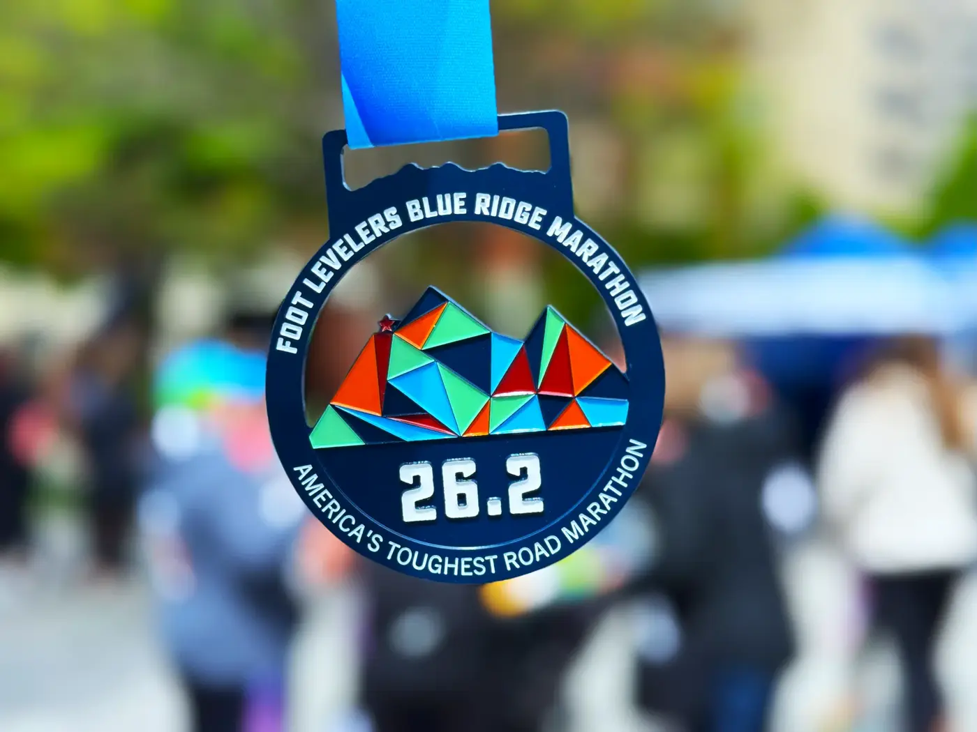
If you can finish the race, it’s a victory. The design of the medals handed out at the finish line is very straightforward:
Dark blue background, colorful peaks, and the eye-catching sentence printed at the bottom:
“America’s Toughest Road Marathon.”
Simple and clean, not too fancy, but quite powerful.
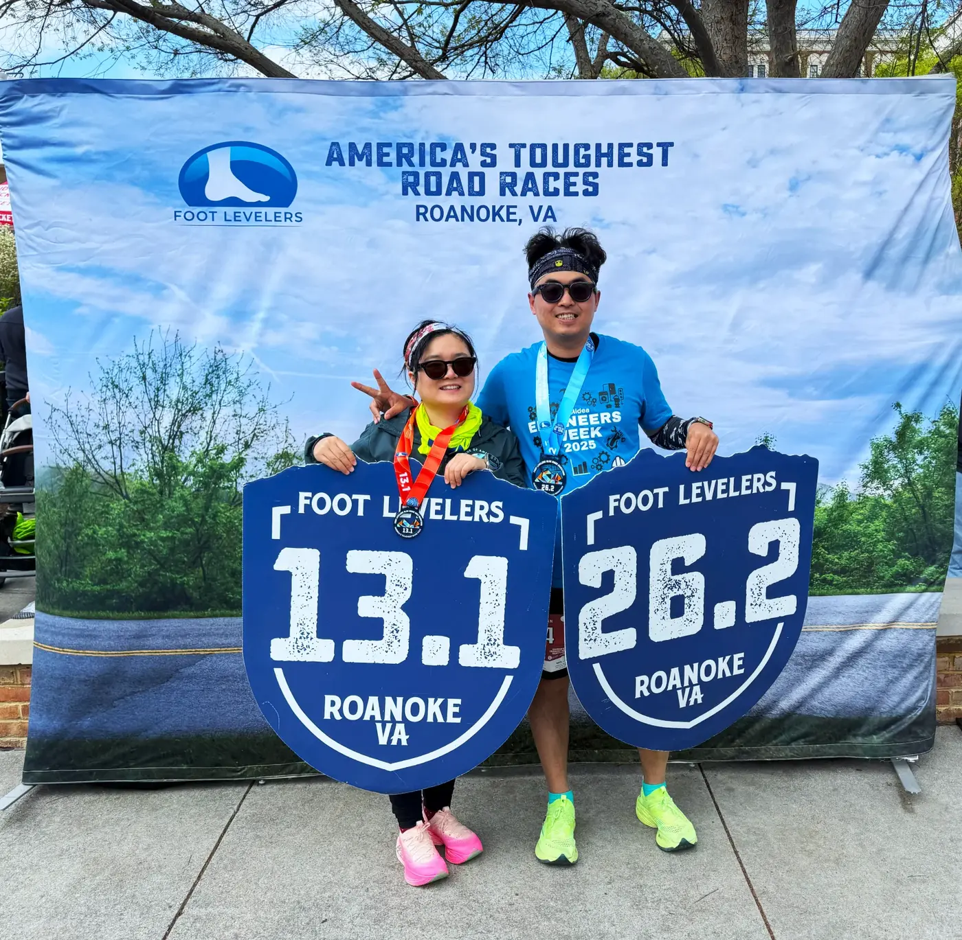
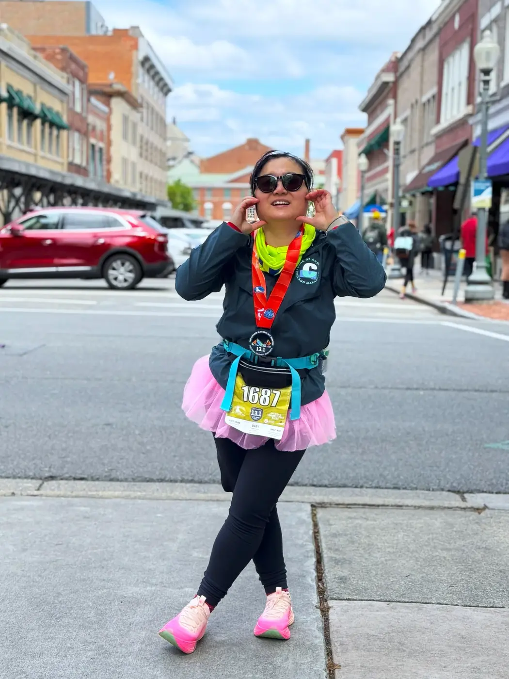
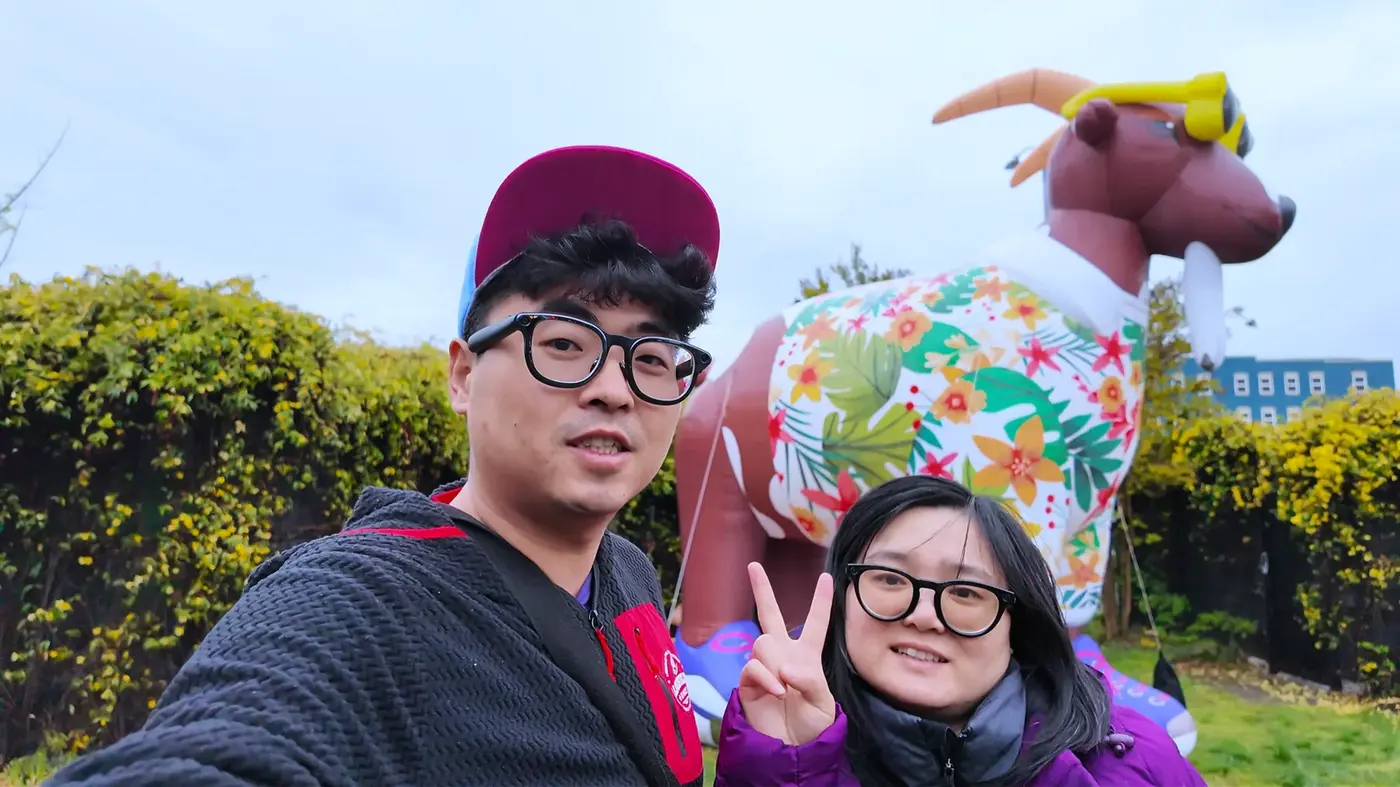
Siqi and I took a photo with our respective medals.
She ran a half marathon and I ran a full marathon, and then we took a few photos on the way back to the car.
On the way back, the weather cleared up. The mountains are still blue and the clouds have dispersed.
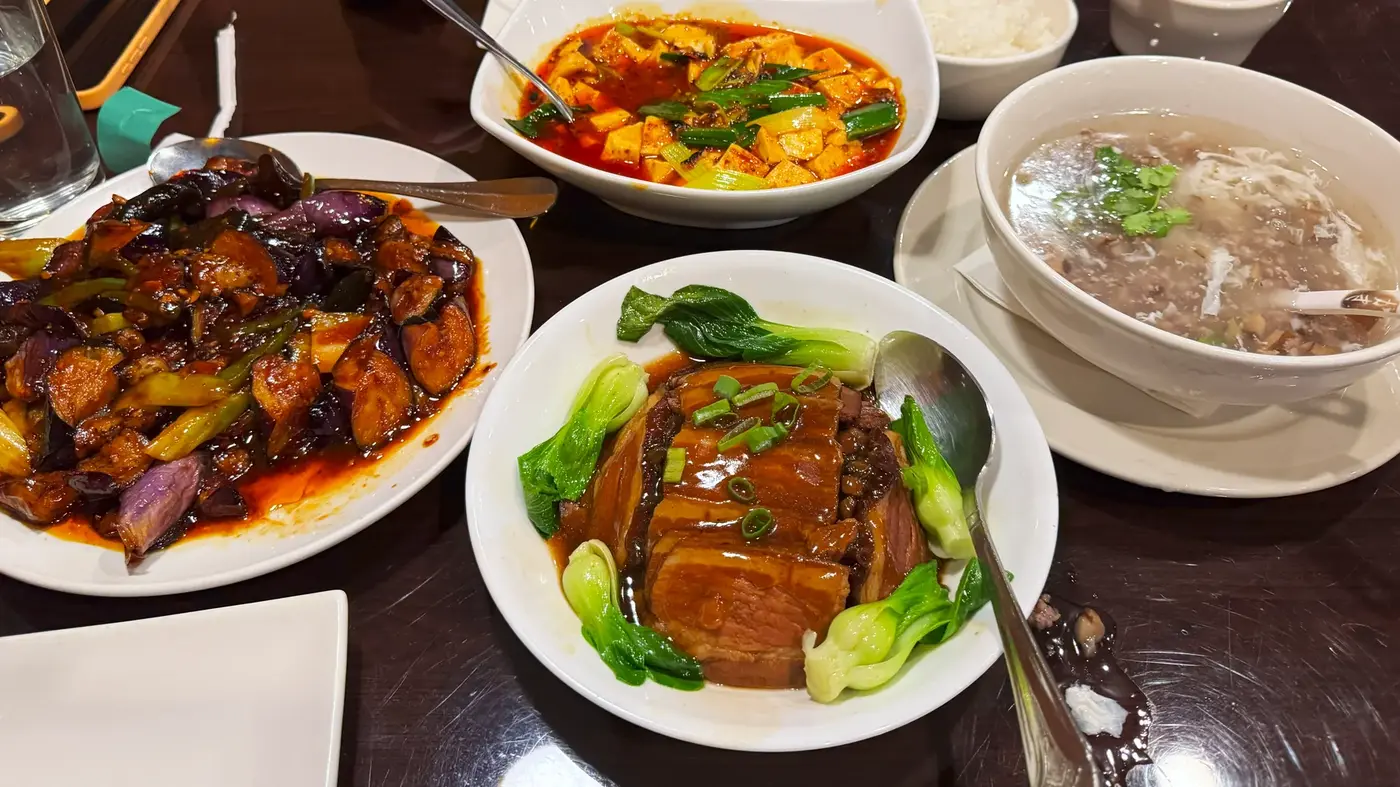
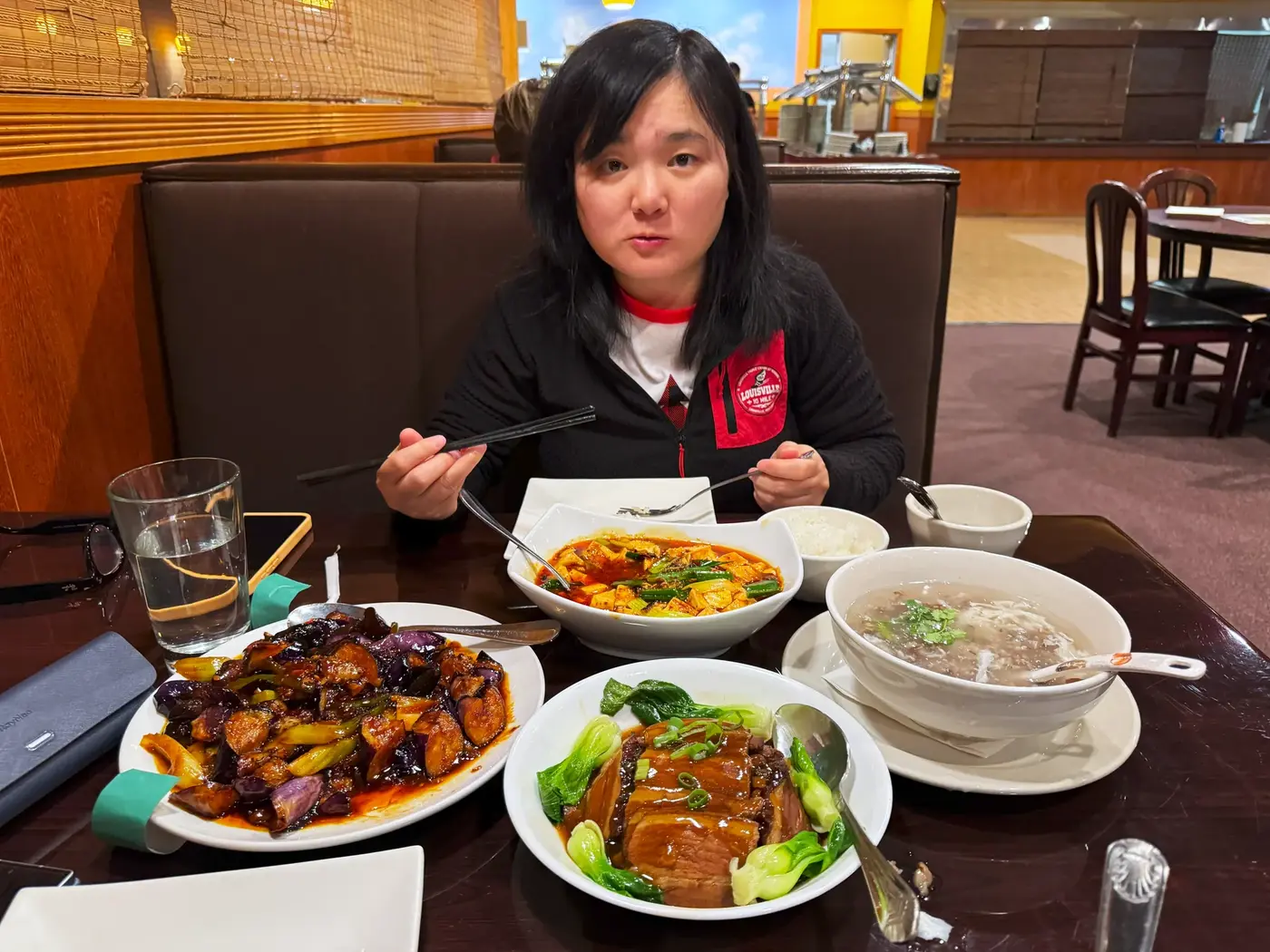
We had a Chinese meal in Lexington, which was a little oily and salty.
A very familiar smell.
After eating, we got in the car and it was less than an hour until we got home.
Postscript|Between violence and balance
Thinking back on the entire game, those images still remain in my mind:
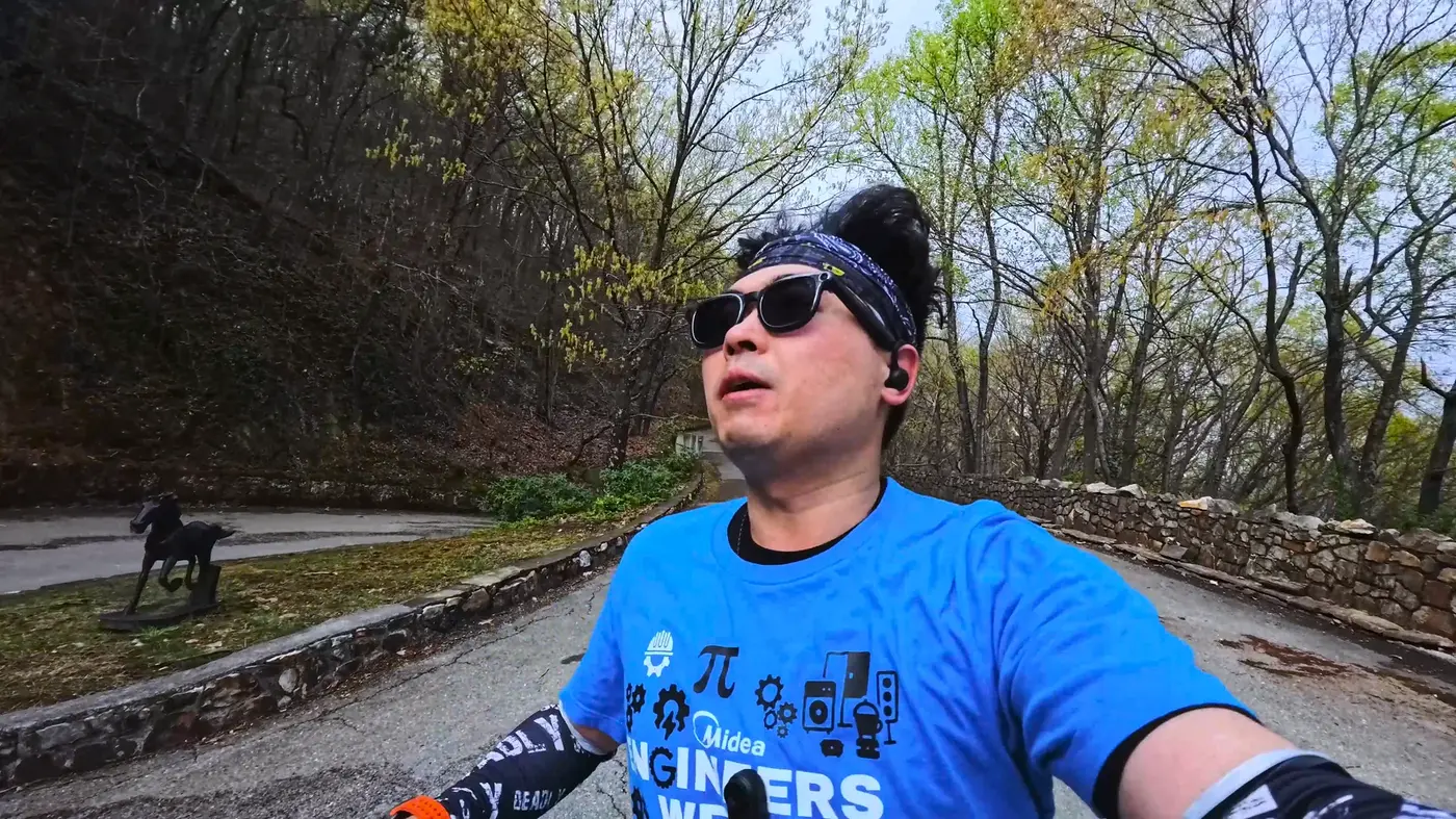
The sound of breathing heavily on the hillside, the coolness of the wind on your face when going downhill,
The smiling faces of residents holding signs at the door, and the train whistle beside the track.
The climb of more than 3,500 feet is close to “violent” in the marathon world.
Muscles are stretched repeatedly and breathing becomes heavier.
But the more you go through this "abuse" process, the more you can feel the power of your body being rekindled.
Scientifically, this feeling does have an explanation.
When the body is "pushed to the limit" during long-term high-intensity exercise,
The brain releases a class of substances called endorphins.
It suppresses pain and creates a feeling of pleasure: the so-called “runner’s high.”
Simply put, the more tired you are, the happier you are. The more pain your body feels, the more alive you feel.
But this pleasure is not endless. If it's too extreme, it will collapse. Like life, running is an art of balance:
You have to be between "pain" and "pleasure",
Find that point between “hold on” and “let nature take its course.” I often think that Tai Chi talks about the balance of yin and yang, and the universe is also pursuing balance:

The orbits of the planets, the cycle of day and night, the cycle of life and death.
Perhaps human happiness also comes from this ability of "self-balancing".
Not sprinting blindly, nor stopping all the time,
Instead, learn to find your own rhythm amidst the changes.
In the 24th state, I am in this climb of violent aesthetics,
I unexpectedly found that balance.
The body was hollowed out on the hillside,
But my heart became quiet at a certain moment.
The road ahead will continue to stretch.
Maybe life is a long uphill and downhill journey.
What I want to learn is to find my own balance in an unbalanced world.
- End -
Words, photos, and layout by Arsenan